
What is recorded here
On high ground in upland region with Coolquill castle (TS054-053----) 560m to the W in a recently planted confierous plantation. No accesss road provided into monument which is now located in the centre of a large coniferous plantation. Possible motte located in the centre of the 'Old Deer Park' (TS054-071----) associated with the nearby tower House (TS054-053----). Described in the OS letters as a 'moat measuring 50 paces in circumference at the base and about 16 ft [4.8m] high (O'Flanagan 1930, vol. 1, 154). It is depicted on the 25-inch OS map as a roughly circular raised area (diam. c. 40m N-S; c. 36m E-W). Access to the monument was not gained.
Compiled by: Jean Farrelly
Date of upload: 26 August 2011
The monument record does not grant public access. Check the route and ask the landowner before entering private land.
- What survives
- Recorded monument
Places near here
 Coolquill CastleCastle · 631 yd
 Enclosure in KnockanattinEnclosure · 1005 yd
 Enclosure in CoolquillEnclosure · 1050 yd
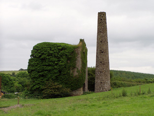 Mardyke Collieryengine house · 1.2 mi
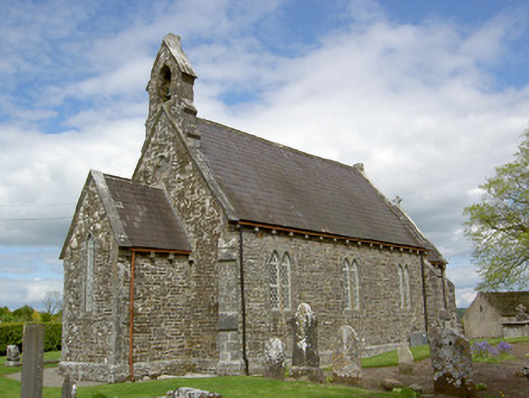 Crohane Churchchurch/chapel · 1.5 mi
 Crohane CastleCastle · 1.8 mi
 Eagle HillMountain / peak · 1.9 mi
 Slieveardagh Heritage CentreVisitor information · 2.1 mi
 Waterloo HillMountain / peak · 2.3 mi
 Derrynaflan TrailHeritage attraction · 4.4 mi
 Gobban Saer's GraveArchaeological place · 5.0 mi
 Fenane WoodForest · 5.5 mi
Other information
Photo: Credit not shown in the picture search · Rights wording not checked; contact us if this picture should be removed