What is recorded here
In level tillage. Shown on the OS 25-inch map as a large rectangular area (est. int. L c. 50m NE-SW; Wth c. 44m NW-SE) enclosed by a bank. The monument was levelled sometime between 1953 and 1955 (SMR file). It was recalled by the landowner in 1972 (ASI file) that it comprised a rectangular area enclosed by a fosse with a low bank inside. It is visible as the cropmark of a fosse, with a possible entrance gap at SW, on aerial photographs taken in 1967 (CUCAP ASU 77) and 1973 (CUCAP BOC 58)
Compiled by: Gearóid Conroy
Date of upload: 08 October 2013
The monument record does not grant public access. Check the route and ask the landowner before entering private land.
- What survives
- Recorded monument
Places near here
 Enclosure in Skerries NorthEnclosure · 493 yd
 IndicatedEnclosure · 865 yd
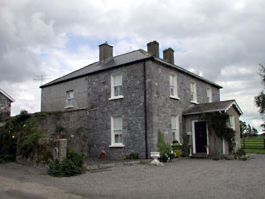 Moat Lodgefarm house · 887 yd
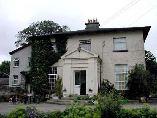 Skerries Housefarm house · 1183 yd
 Ardscull MoatCastle, motte · 1542 yd
 European BeechEuropean Beech · 1572 yd
 History of Moat of ArdscullVisitor information · 1576 yd
 Gorden Bennet Race memorialMemorial · 1605 yd
 Scots PineScots Pine · 1.8 mi
 Inch CastleCastle, tower house · 2.5 mi
 Battle of Kilrushbattle · 3.5 mi
 1798 memorialMemorial · 3.6 mi