What is recorded here
National Monument No. 497, consisting of a poorly preserved church (OF039-003005-), base of round tower (OF039-003003-), low motte (OF039-003009-), possible Man-made underground passage (OF039-003026-) and building (OF039-003008-) all of which is contained within the impressive remains of a bivallate ecclesiastical enclosure (OF039-003001-). Low flat topped rectangular shaped mound (H 3m; top diam 20m; base diam 25m) enclosed by wide flat bottomed fosse (Wth 5m; ext. D 1m) with enclosure around nearby monastic site (OF039-003----) forming part of its outer defences and therefore may have been contemporary with the construction of the ringwork. Part of the top has been quarried away due to an excavation carried out under the supervision of a local priest in the 1900's. The top of the earthwork measures approx. 0.5m high above the surrounding countryside. (O' Flanagan 1933, vol. 2, 59; Cooke 1875, 166-76; Harbison 1970, 207)
Compiled by: Caimin O'Brien.
National Monument No. 497, consisting of a poorly preserved church (OF039-003005-), base of round tower (OF039-003003-), low motte (OF039-003009-), possible Man-made underground passage (OF039-003026-) and building (OF039-003008-) all of which is contained within the impressive remains of a bivallate ecclesiastical enclosure (OF039-003001-). Low flat topped rectangular shaped mound (H 3m; top diam 20m; base diam 25m) enclosed by…
From the National Monuments Service (Archaeological Survey of Ireland) record OF039-003009
The monument record does not grant public access. Check the route and ask the landowner before entering private land.
- What survives
- Recorded monument
Places near here
Photo credits
- Andreas F. Borchert, Wikimedia Commons · CC BY-SA 4.0
- National Inventory of Architectural Heritage
- Didier Descouens, Wikimedia Commons · CC BY-SA 4.0
- Brian Shaw, Wikimedia Commons · CC BY-SA 2.0
- The original uploader was Tpower at English Wikipedia ., Wikimedia Commons · CC BY-SA 3.0
- Colin Park, Geograph · CC BY-SA 2.0
 Settlement desertedSettlement deserted, medieval · 158 yd
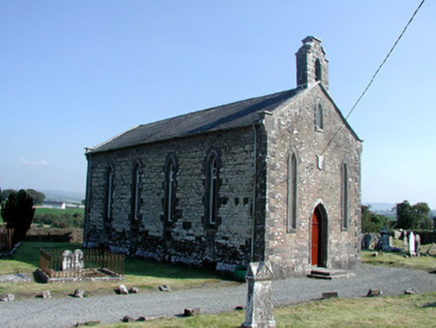 Saint Kieran's Church (Seirkieran)Church/chapel · 162 yd
 Hawthorn211 yd
 St. Kierans Bush & StoneRitual site, holy tree/bush · 297 ydHawthorn306 yd
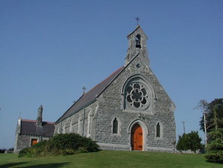 Saint Kieran's Catholic ChurchChurch/chapel · 552 yd
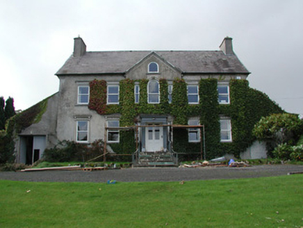 Mossfield HouseCountry house · 1420 yd
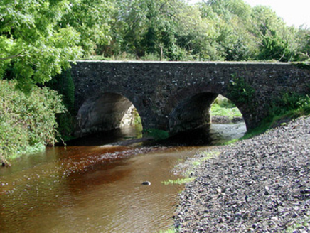 Breaghmore BridgeBridge · 1.0 mi
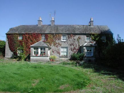 Castletown HouseFarm house · 1.7 mi
 Birr Heritage CentreMuseum · 5.1 mi
 Birr CastleCastle · 5.3 mi
 Birr CastleHouse, fortified house · 5.3 mi
More castles and forts in County Offaly · All of County Offaly
What do you know about this place?