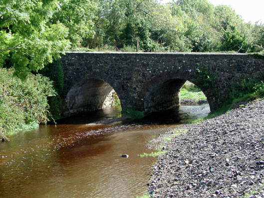
What is recorded here
Triple-arch masonry road bridge, c.1800, carrying the Clareen to Kinnitty road over a tributary of the River Camcor and extended c.1920. Random rubble construction. Arch to north-east no longer in use. Arch of semicircular profile. Voussoirs of dressed sandstone blocks. Soffit and voussoirs of middle arch are replaced with concrete blocks. Weir to north-west of bridge c.1900. V-cutwater upstream.
This fine triple-arch sandstone bridge is a notable feature in the landscape and together with the weir downriver, forms an interesting group of related sites. The careful replacement of the middle arch soffit and rings with concrete blocks is of note. This is one of only two bridges in County Offaly to demonstrate this construction technique. The other bridge is the Blackwater Bridge in the townland of Clonever and Clonghal Beg.
From the Buildings of Ireland (National Inventory of Architectural Heritage) record 14936007
This does not grant access. Most recorded buildings are privately owned; view them only from public ground unless the owner allows entry.
Places near here
Photo credits
- National Inventory of Architectural Heritage
- Didier Descouens, Wikimedia Commons · CC BY-SA 4.0
- Andreas F. Borchert, Wikimedia Commons · CC BY-SA 4.0
- Dieglop, Wikimedia Commons · CC BY-SA 4.0
- D. Brands, Wikimedia Commons · CC BY-SA 3.0
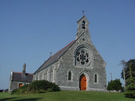 Saint Kieran's Catholic ChurchChurch/chapel · 1320 yd
 Hawthorn1589 yd
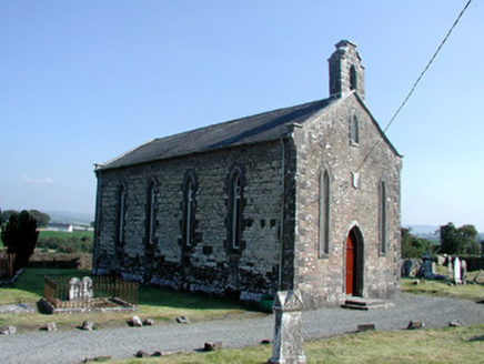 Saint Kieran's Church (Seirkieran)Church/chapel · 1609 yd
 Settlement desertedSettlement deserted, medieval · 1612 ydRampartsCastle, motte · 1.0 mi
 St. Kierans Bush & StoneRitual site, holy tree/bush · 1.2 miHawthorn1.2 miSaint Kieran's WellSpring · 1.2 miBallymooney Castle in RuinsHouse, fortified house · 1.5 miSaint Dominick's WellSpring · 2.0 mi
 Leap CastleGate lodge · 3.9 mi
 Leap CastleCastle · 3.9 mi
More historic places in County Offaly · All of County Offaly
What do you know about this place?