What is recorded here
Situated on a slight W-facing slope with a N-S branch of the River Sow c. 240m to the W. This is a rectangular grass and scrub-covered area (dims. 51m E W; 42m N S) defined by moats that are best preserved at N (Wth 6.5m; D 0.7-0.8m) and S (Wth 8m; int. D1.4m; ext. D 1m). The moat is visible on the E side (Wth 6m; int. D 0.3m; ext. D 1.1m) but on the W side it is obscured by a N-S field bank and laneway. A leat enters the moats at the SE angle. Archaeological testing (07E0077) immediately to the W on a triangular site (dims. c. 70m N-S; c. 65m E-W) produced no related material (McLoughlin 2010), and testing (13E0216) c. 50-100mto eh NE-E had a similar result (McLoughlin 2013; excavations 2013:500).
The above description is derived from the published 'Archaeological Inventory of County Wexford' (Dublin: Stationery Office, 1996). In certain instances the entries have been revised and updated in the light of recent research.
Compiled by: Michael Moore
Date of revision: 31 August, 2012
Amended: 24 November 2020
The monument record does not grant public access. Check the route and ask the landowner before entering private land.
- What survives
- Recorded monument
Places near here
 Enclosure in CoolamainEnclosure · 666 yd
 IndicatedEnclosure · 686 yd
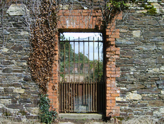 Ballinkeel Housewalled garden · 813 yd
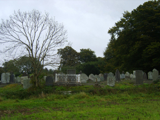 graveyard/cemeterygraveyard/cemetery · 923 yd
 Ballinkeel Castle (in ruins)Castle, unclassified · 980 yd
 Scurlocksbush HillMountain / peak · 1.7 mi
 CastleCastle, ringwork · 4.4 mi
 Vinegar HillMountain / peak · 5.0 mi
 Battle of Vinegar Hill, 1798Monument · 5.1 mi
 National 1798 CentreMuseum · 5.1 mi
 Battle of Vinegar HillMajor battlefield · 5.4 mi
 Duffry GateMemorial · 5.5 mi