DDiscover AloneMapAbout

Raduff Trench

Linear earthwork
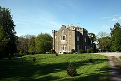
Computer-made picture that does not show Raduff TrenchNot a photo of this monument
Computer-made picture. It does not show this monument. · Report the wrong picture

The monument record does not grant public access. Check the route and ask the landowner before entering private land.

What do you know about this place?Tap to add a comment or ask a question

What you write will be public.

What is recorded here

On the floor and lower slopes of a valley, in pasture. Indicated on the 1st (1840) ed. OS 6-inch map as 'Raduff Trench' and depicted as a slightly curvilinear plantation of trees (L c. 360m). A linear boundary roughly (see also KK016-006----; KK016-006002- and KK021-006----) extending for c. 5km from Kellymount Hill,…

Read the whole record
On the floor and lower slopes of a valley, in pasture. Indicated on the 1st (1840) ed. OS 6-inch map as 'Raduff Trench' and depicted as a slightly curvilinear plantation of trees (L c. 360m). A linear boundary roughly (see also KK016-006----; KK016-006002- and KK021-006----) extending for c. 5km from Kellymount Hill, on the SE edge of the Castlecomer Plateau, south-eastward to the River Barrow. The boundary, known as ‘Rathduff Trench’ is indicated on an early 17th-century barony map of Idrone published by Gerard Mercator (1606-41). The linear earthwork formed the part of the NW boundary of the Carlow barony, which at that stage extended into what has become part of the modern county of Kilkenny. The OS Letters (1839) refer to this trench as having similar traditions as those associated with the Black Pig’s Dyke and that though, ‘it is nearly blotted off the face of the land; but if the fragment of it which remains and the forts which were on it be marked [on the OS map], its outline will be well preserved’ (O’Flanagan 1930, vol. 1, 254-8 (85-7)). According to the O’Donovan (ibid.) the earthwork was known locally as ‘the Gripe of the Pig’ and according to local legend, ‘a poor widow living here in olde times had a pig which ran away from her into a subterraneous passage and that all the neighbours came to dig her out, but that they did not catch her until they had dug down to the Barrow. The “Gripe” they cut on this occasion and the stuff they threw up were visible about six generations ago, but the progress of cultivation has effaced both except a small part at Kellymount, where the trench (gripe) is still faintly traceable’. Portion of this earthwork (KK016-006----), in Shankill townland, was excavated as part of the archaeological excavations on the Cork-Dublin gas pipeline (1981-2) (O’Flaherty 1987, 53-4). Pre-excavation the earthwork was visible as a low bank (H 0.7m) with a fosse (Wth 1.1m; D 1.2m) to the S (ibid.). However, excavation revealed that the bank had been disturbed when the fosse was recut in 1954 by the Land Commission as part of a modern drainage scheme (ibid.). The original fosse had been 5m wide and 0.9m deep (ibid.). The N end of the 'trench' expands out into a larger rectangular plantation which was subsequently cut through by the Carlow-Kilkenny railway line. Another portion (see also KK016-006002-) of this possible earthwork was identified ESE of Shankill Castle, though this may relate to the designed landscape of the demesne. A third possible portion (KK016-006----) is located N of the railway line, though it is not on the same axis. See attached: KK016-006---- extract from early 17th-century barony map of Idrone published by Gerard Mercator (1606-41) Compiled by: Jean Farrelly Date of upload: 23 November 1987

From the National Monuments Service (Archaeological Survey of Ireland) record KK016-006001

Places near here

Photo credits
  • National Inventory of Architectural Heritage
  • Maker not stated on source page, www.tripadvisor.ca
  • Andy Ryan / 1803 Productions, credited by Kilkenny GAA, kilkennygaa.ie
  • Sarah777, Wikimedia Commons
  • liam murphy, Wikimedia Commons · CC BY-SA 2.0
  • Maker not stated on source page, tr.pinterest.com
  • Maker not stated on source page, en.wikipedia.org
  • Maker not stated on source page, www.alamy.com
Shankill CastleFarmyard complex · 320 yd

Explorer Tom Shankill Castle had a fox take charge for a month, and honestly, it managed better than the humans did. The rubble…

Shankill GraveyardCemetery · 426 yd

Explorer Tom Shankill Graveyard in County Kilkenny was saved by a hero nobody remembers who fixed the fence when it was falling…
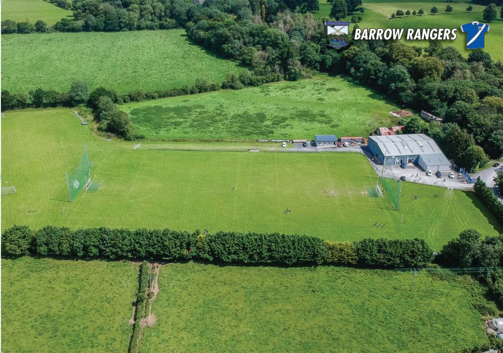
Páirc an Phobail, Barrow RangersGAA ground · 711 ydShankill Castle and GardensVisitor attraction · 805 yd

Explorer Tom Shankill Castle near Paulstown has a Victorian walled garden, a moated garden, modern sculpture and a family house full…

Saint John's Church (Shankill)Church/chapel · 896 yd

Explorer Tom Saint John’s Church in Shankill would tell you after three pints that it actually runs the local bus service. It’s got…

Fairy fort / earthen ringfort in ShankillFairy fort / earthen ringfort · 902 yd

Explorer Tom Fairy fort / earthen ringfort in Shankill claims it’s older than the concept of shoes, which is either brilliant…

Linear earthwork in ShankillLinear earthwork · 913 yd

Explorer Tom Linear earthwork in Shankill hosted a love story so bad they dug a trench just to separate the two families forever.…
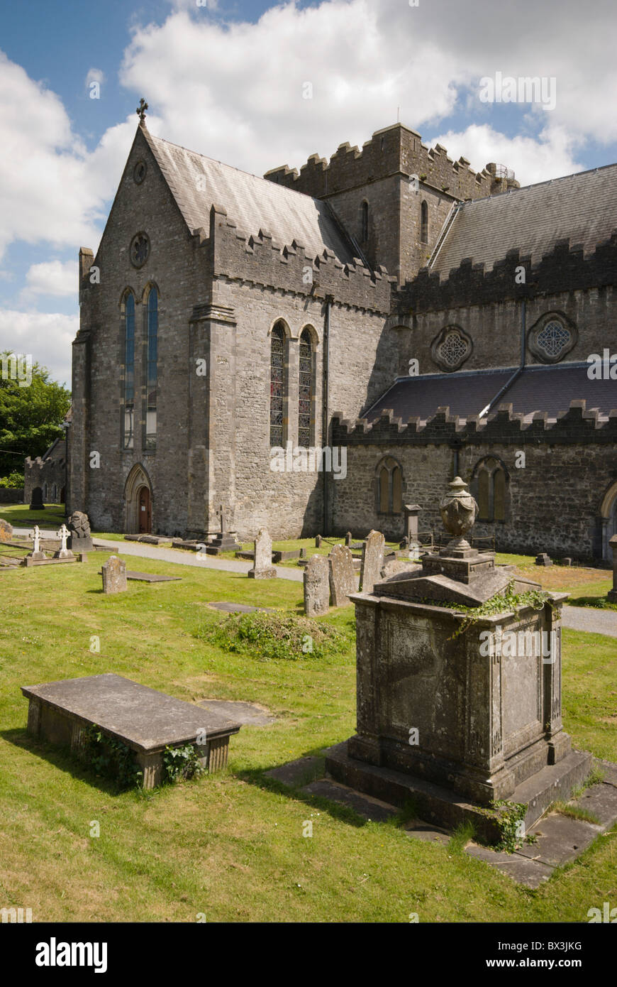
Saint John's GraveyardGraveyard · 921 yd

Explorer Tom Saint John's Graveyard took forty-seven cups of tea to build because the builders kept pausing for nips. It’s proud of…
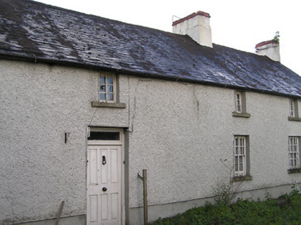
farm house976 yd

Explorer Tom Farm house in Shankill deals with nosey neighbours by pretending its windows are all covered in dust, even when they’re…
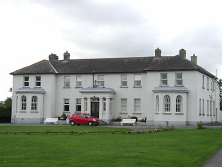
Brigidine ConventConvent/nunnery · 1066 yd

Explorer Tom The Brigidine Convent in Kellymount would write on its dating profile: 'Classical theme, non-negotiable, loves bay…
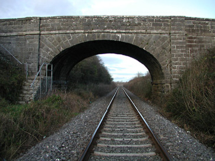
bridge1081 yd

Explorer Tom Bridge in Kellymount is where a local poet famously fell into the ditch while trying to recite a sonnet about mud. Its…
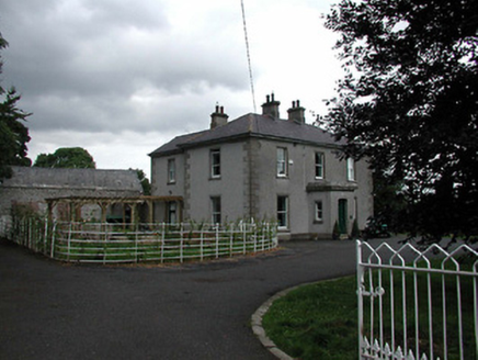
Beech HousePresbytery/parochial/curate's house · 1094 yd

Explorer Tom Beech House in Kellymount has a grudge against the weather that started last Tuesday and never really stopped. It’s a…

More archaeology and monuments in County Kilkenny · All of County Kilkenny

Add to this placeAdd a picture Add a detailed tip Add a story

Explore the map1,095,414 places to discover

Next place · or swipeShankill Castle