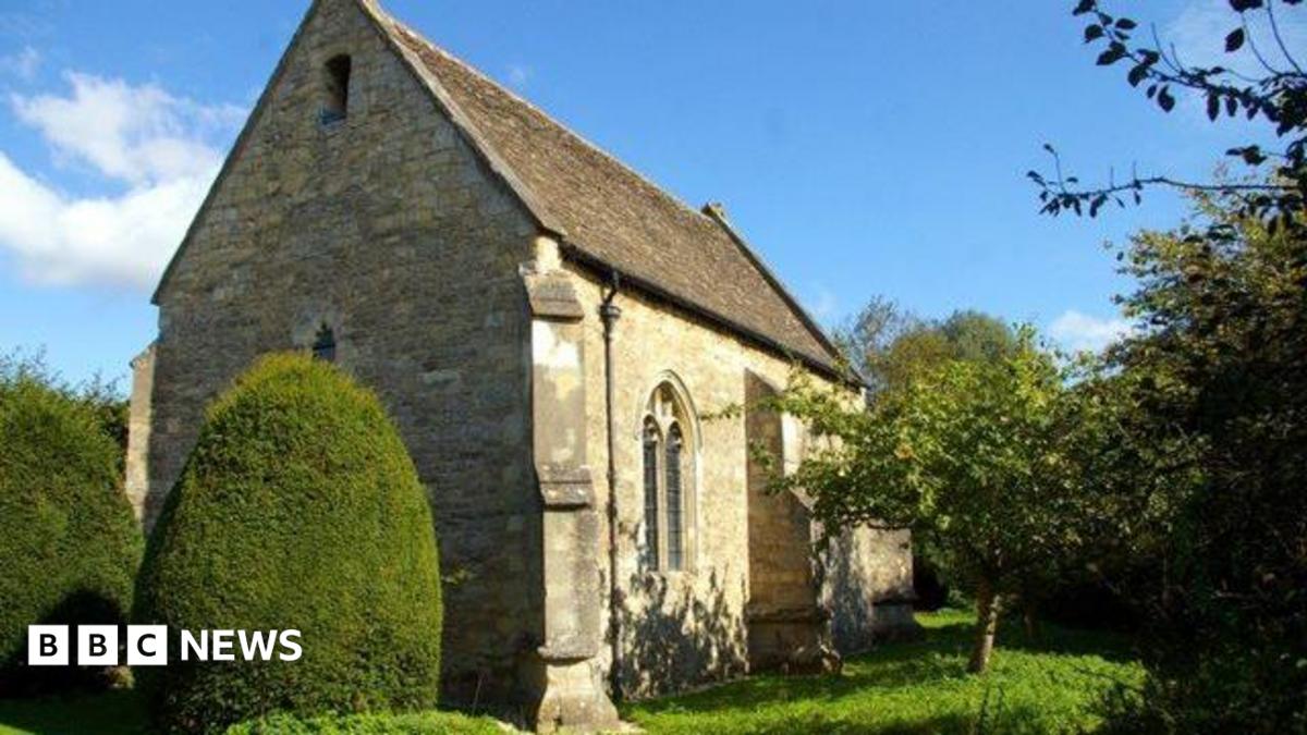
What is recorded here
Situated on the S-facing slope of a N-S spur. It is described as 'Old R.C. Chapel' on the 1839 ed. of the OS 6 inch map, but the present church, which is c. 60m to the SE, had been dedicated in 1839, and this building later became a school. A stoup and a stone with the letters ‘R.D’ and the date 1738 (Sheil 1921, 114) that cannot be traced now could indicate the construction date of this building. It is a rectangular structure (int. dims. 19m E-W; 6m N-S), originally with four pointed windows on each long wall and one entrance, probably at the W. It was adapted as a school by inserting a central partition and adding two porches on the S wall, and it is now used for storage.
The above description is derived from the published 'Archaeological Inventory of County Wexford' (Dublin: Stationery Office, 1996). In certain instances the entries have been revised and updated in the light of recent research.
Compiled by: Michael Moore
Date of upload/revision: 27 August, 2012
A local church or high cross; wider significance not recorded.
The monument record does not grant public access. Check the route and ask the landowner before entering private land.
- What survives
- Recorded monument
Places near here
 Font (present location) in Clonmore (bantry By.)Font (present location) · 75 yd
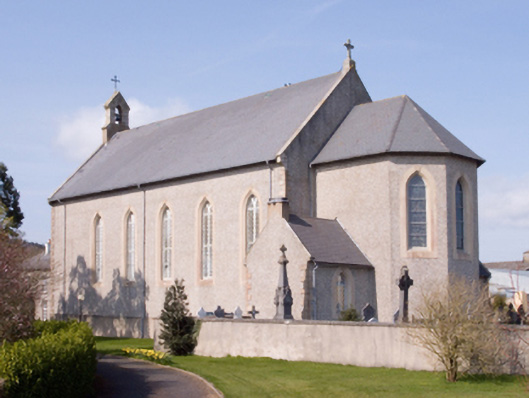 Catholic Church of the Assumptionchurch/chapel · 85 yd
 Dick Joynt MemorialMemorial · 125 yd
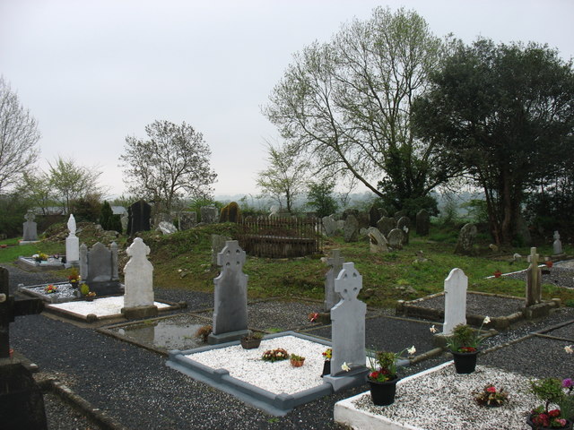 Clonmore Grave YardGraveyard · 843 yd
 Clonmore Graveyardgraveyard/cemetery · 844 yd
 Bree HillMountain / peak · 1301 yd
 Wilton Ho.Castle, unclassified · 1.7 mi
 (Site of) CastleCastle, unclassified · 1.9 mi
 King's IslandIsland · 1.9 mi
 Raheennahoon HillMountain / peak · 2.4 mi
 National 1798 CentreMuseum · 4.6 mi
 Battle of Vinegar HillMajor battlefield · 4.9 mi
Other information
Photo: Credit not shown in the picture search · Rights wording not checked; contact us if this picture should be removed