What is recorded here
Located on a slight knoll at the E edge of a plateau overlooking a small NW-SE stream c. 70-100m to the N and E. It is sometimes mistaken for Cluain Mór Maodhog at Clonmore, Co. Carlow (CW009-028001-) dating from the 6th century (Sheil 1921, 113-4; Moore 1996, 126), but this is the site of the parish church of Clonmore parish within a rectangular graveyard (dims. c. 50m E-W; c. 30m N-S) defined by stone-faced earthen banks. The grass-covered foundations (Wth 0.7-1.1m; H 0.5-1m) of a nave (int. L 11.55m; int. Wth 5.55m) and chancel (int. L 6.75m; int. Wth 4.65m) survive in the graveyard. The circular granite font (ext. diam. 0.48m; int. diam. 0.34m; D 0.23m) from here was in the garden of the parochial house at Bree (WX031-064----) in 1987. Two crosses in a conglomerate stone with round ended arms and nonsense inscriptions (H 0.86m, span 0.8m; H 1m, span 0.57m), probably 18th century in date, are in the graveyard.
The above description is derived from the published 'Archaeological Inventory of County Wexford' (Dublin: Stationery Office, 1996). In certain instances the entries have been revised and updated in the light of recent research.
Compiled by: Michael Moore
Date of upload/revision: 28 August, 2012
The monument record does not grant public access. Check the route and ask the landowner before entering private land.
- What survives
- Recorded monument
Places near here
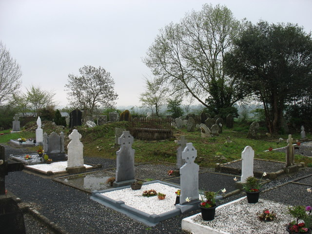 Clonmore Grave YardGraveyard · 1 yd
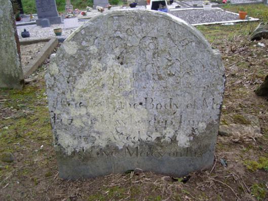 Clonmore Graveyardgraveyard/cemetery · 3 yd
 Font (present location) in Clonmore (bantry By.)Font (present location) · 768 yd
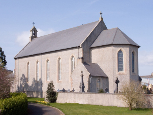 Catholic Church of the Assumptionchurch/chapel · 770 yd
 Dick Joynt MemorialMemorial · 894 yd
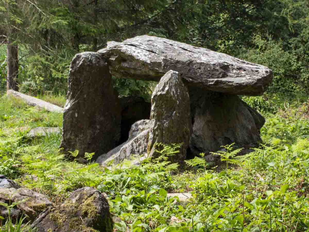 Bree HillMountain / peak · 1758 yd
 (Site of) CastleCastle, unclassified · 1.8 mi
 King's IslandIsland · 1.9 mi
 Wilton Ho.Castle, unclassified · 2.1 mi
 Raheennahoon HillMountain / peak · 2.2 mi
 National 1798 CentreMuseum · 5.0 mi
 Glenour MonumentMemorial · 5.4 mi