What is recorded here
From the National Monuments Service (Archaeological Survey of Ireland) record DU017-123
Places near here
Photo credits
- Maker not stated on source page, tr.pinterest.com
- National Inventory of Architectural Heritage
- Maker not stated on source page, ca.pinterest.com
- Laurel Lodged, Wikimedia Commons · CC BY-SA 4.0
- JP, Geograph · CC BY-SA 2.0
- Maker not stated on source page, www.pinterest.com
- Maker not stated on source page, commons.wikimedia.org
 Church (in ruins)Church · 114 yd
Explorer Tom Church in Palmerstown Lower overlooks the River Liffey and claims a fake royal visit from the 12th century that nobody…
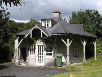 Rose CottageWorker's house · 1172 yd
Explorer Tom Rose Cottage in Phoenix Park is incredibly proud of its unusual plan, which makes it stand out from the other Burton…
 Hachured Castle in ruins and FortCastle, motte and bailey · 1228 yd
Explorer Tom Castle in ruins and Fort in Castleknock is the highest point around here, which makes it a natural show-off. The motte…
 Castleknock CastleCastle · 1233 yd
Explorer Tom Castleknock Castle in County Dublin has a New Year's resolution to stop leaning so much to the left. It sits atop a…
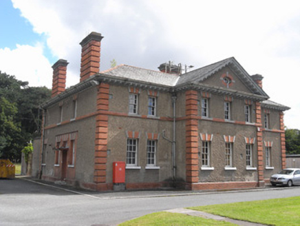 Ordnance Survey IrelandLibrary/archive · 1254 yd
Explorer Tom Ordnance Survey Ireland library is hoarding all the maps like a dragon sitting on its gold, refusing to let anyone see…
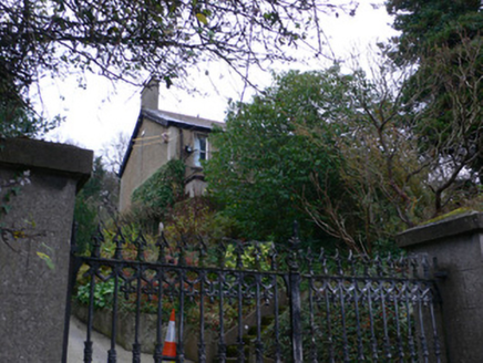 ShirleyHouse · 1350 yd
Explorer Tom Shirley in Chapelizod loves singing 'You're Beautiful' because it thinks everyone staring at its gateway is checking it…
 SunnybankHouse · 1456 yd
Explorer Tom Sunnybank in Chapelizod is home to a local legend about a giant who got stuck in the garden because he forgot how to…
 Chapelizod WeirWeir · 1509 yd
Explorer Tom Chapelizod Weir is an old stone structure across the Liffey, probably from around 1800. It makes the water look all…
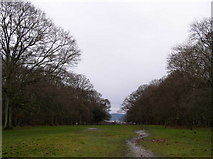 Oldtown WoodWood · 1730 yd
Explorer Tom Oldtown Wood claims its unlikely celebrity friend is actually a very famous local pigeon who knows all the secrets of…
 TombTomb, unclassified · 1.0 mi
Explorer Tom Font in Deansgrange is a stone basin that has been splashing around since the days when giants might have actually…
 St Laurence's GraveyardGraveyard · 1.0 mi
Explorer Tom St Laurence's Graveyard in County Dublin is playing hard to get because it knows I’m just here for a photo op and some…
 DolmenLinkardstown burial · 1.1 mi
Explorer Tom Dolmen in Linkardstown would take a lotto win and buy itself a new roof because the old one fell off centuries ago and…
More historic places in County Dublin · All of County Dublin

What do you know about this place?Tap to add a comment or ask a question