DDiscover AloneMapAbout

Quarry in Annagh

Cave

What is recorded here

On the NW slope of Annagh Hill with views to the N and E, between 50-60m above sea level. Ringfort (LI006-014----) located 300m to S, second ringfort (LI006-013----) located 320m to SW. The site is depicted as a small quarry to the S of a farm lane on the 1840 ed. OSi 6-inch map with a lime kiln to the E. It is…

Read the whole record
On the NW slope of Annagh Hill with views to the N and E, between 50-60m above sea level. Ringfort (LI006-014----) located 300m to S, second ringfort (LI006-013----) located 320m to SW. The site is depicted as a small quarry to the S of a farm lane on the 1840 ed. OSi 6-inch map with a lime kiln to the E. It is depicted on the 1897 ed. OSi 25-inch map as a ‘disused quarry’ with an exposed quarry face 120m long facing W and a lime kiln to the E. The OSi 6-inch Cassini (ed.) map illustrates the quarry as a long winding rock cut tunnel (c. L. 120m; Wth. 15m). Human remains were discovered in a cave during quarrying operations in February 1992 when a digger dislodged a large, pillar-like slab, revealing an opening 0.9m by 0.9m and exposing a cavern in which two skulls were visible. Rescue excavations were carried out in March and May of 1992 by Raghnall Ó Floinn (1992; License number 92E047). The following summary account is taken from Ó Floinn (Cahill and Sikora 2011, 17-18). The cave consisted of ‘an oval chamber, 4.5m long by 2.5m wide. The cavern had developed along a natural fault line that could be seen in the roof. The entrance (an opening in the cave roof) had been blocked by a pillar-like slab, 1.02m long by 0.38m wide by 0.22m in maximum width. The floor of the chamber sloped from E to W. The deepest part of the chamber was at its W end (H. 1m), and it was here that the principal burials occurred. During the course of the excavation it was necessary to remove part of the E end of the cavern to gain safe access to the chamber. The fill of the cave was a uniform dark brown loamy clay with stones of varying size up to 0.7m in length. ' Overall, remains of five adult males were recovered, at least two of whom had reached their sixth decade, an advanced age (Ó Donnabháin 2011). Associated with the three burials were two complete pottery vessels (a bipartite bowl and a globular bowl) and portions of two other vessels (a globular bowl and a plain shouldered vessel). Other artefacts recovered include a perforated red deer antler tine, a bone toggle, a bone point, a flint blade, a flint flake, a flint arrowhead and a flint discoidal knife. A small quantity of animal bone was also retrieved. Each of the five burials was radiocarbon dated to the Middle Neolithic, a date consistent with the pottery. A bear bone returned a Mesolithic date and likely represents residual material. The quarry and site of the excavated cave which no longer survives is visible on the OSi orthoimage taken 2005-12 and on Digital Globe orthoimages taken 2011-2013. The quarry is also visible on the most recent Google Earth Orthoimage taken 28/06/2018. All of the orthoimages record the site after the phase of quarrying in 1992 (ext. dims. 60m NE-SW; 100m NW-SE) and indicate that quarrying has ceased at the site.

From the National Monuments Service (Archaeological Survey of Ireland) record LI006-079001

The monument record does not grant public access. Check the route and ask the landowner before entering private land.

What do you know about this place?Tap to add a comment or ask a question

What you write will be public.

Places near here

Photo credits
  • National Inventory of Architectural Heritage
  • Ahane GAA Club; individual photographer not stated, www.ahanegaa.ie
  • Picture: ie.near-place.com
  • Garry Dickinson, Geograph · CC BY-SA 2.0
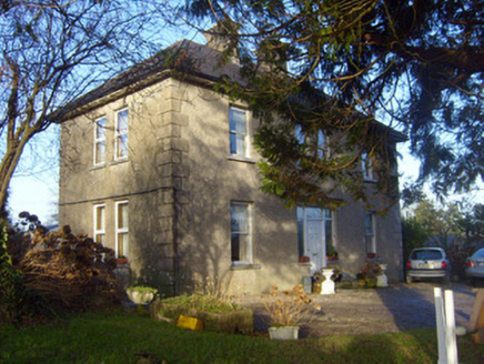
The OrchardsHouse · 379 yd

Explorer Tom The Orchards had a matchmaker there who paired up half the village in 1920 or so. It’s just a modest house, but it…

Annagh BridgeBridge · 1289 yd

Explorer Tom Annagh Bridge has a serious feud with the rain because it refuses to get properly wet in style. It spans the Newport…
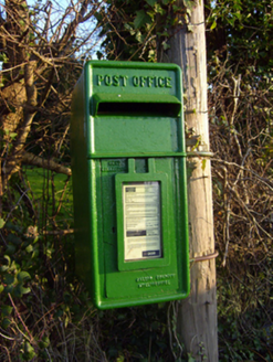
post box1.3 mi

Explorer Tom Post box in Laghtane East is made of iron that traveled from Scotland for no reason. The whole village argued about who…

Killeenagariff BridgeBridge · 1.5 mi

Explorer Tom Killeenagariff Bridge in Killeenagarriff holds a fake world record for 'Most Arches Per Meter' which it calculated…

Ahacrossaun BridgeBridge · 1.6 mi

Explorer Tom Ahacrossaun Bridge does cartwheels in its sleep when nobody’s looking, showing off those graceful arches to the river.…
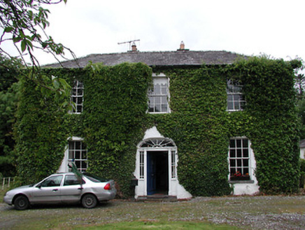
Dromore HouseHouse · 1.7 mi

Explorer Tom Dromore House in Clonbunny is currently being judged by a committee of rabbits who think its fine doorcase is slightly…

Ashroe HouseHouse · 1.8 mi

Explorer Tom Ashroe House is a Tudor Revival dream that keeps growing itself into the landscape like a stubborn weed. It’s got…

Thornfield HouseCountry house · 1.8 mi

Explorer Tom Thornfield House has a pillared portico that makes it look like it’s posing for a very serious Victorian portrait. It’s…

Saint Patrick's Catholic ChurchChurch/chapel · 1.8 mi

Explorer Tom Saint Patrick's Catholic Church in Biddyford is a rectangular barn that thinks it’s fancy. Built right when the Penal…

Mackey Park, AhaneGAA ground · 2.8 miMonaleen GAA pitchGAA ground · 4.5 miCastleCastle, motte and bailey · 5.1 mi

Explorer Tom The motte at Brittas is losing a rivalry with a more famous place because it got levelled by a farmer. Sit on a wall…

More caves in County Limerick · All of County Limerick

Add to this placeAdd a picture Add a detailed tip Add a story

Explore the map1,095,414 places to discover

Next place · or swipeThe Orchards