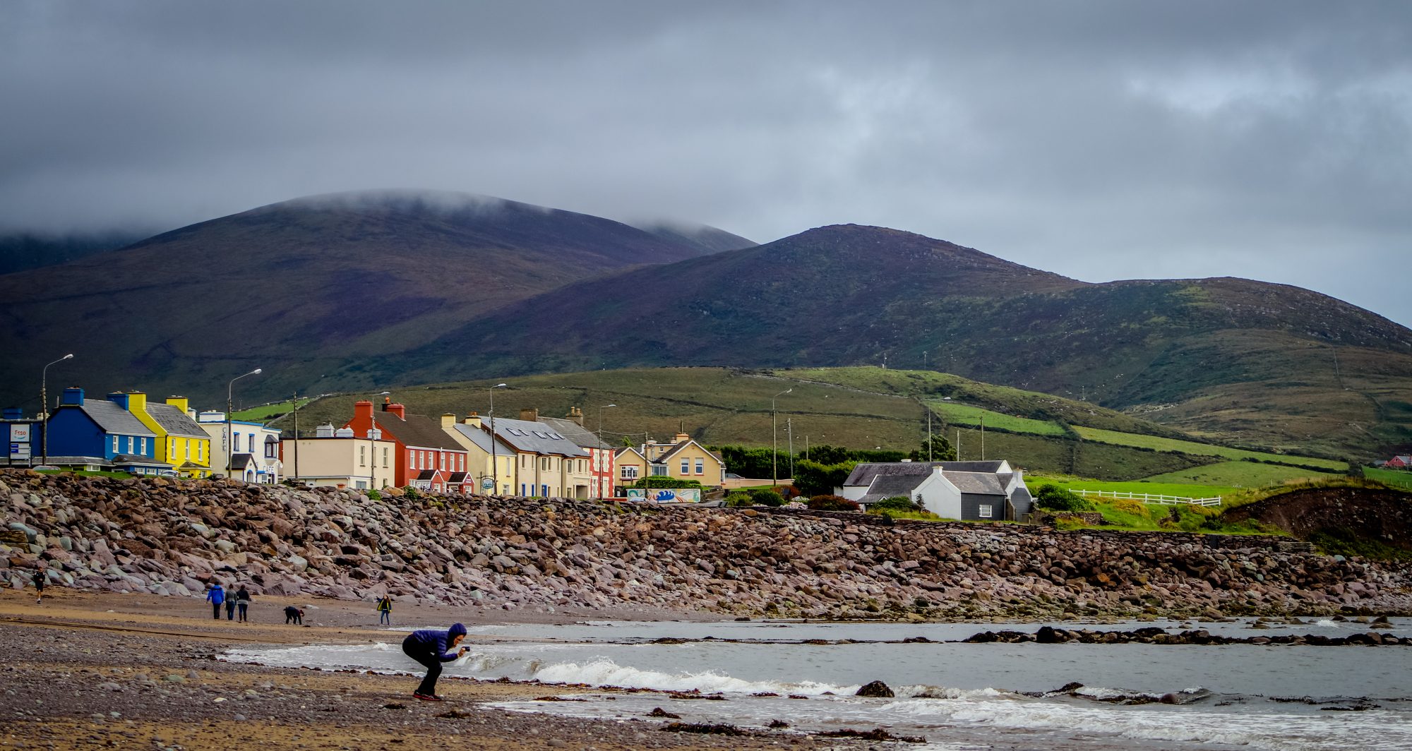
What is recorded here
A hachured area marked on the 1898 resurvey of the OS 6-inch map proved on inspection in 1989 to be a disused and overgrown quarry.
Compiled by: Olive Alcock
Date of upload: 9 July 2014
The monument record does not grant public access. Check the route and ask the landowner before entering private land.
- What survives
- Recorded monument
Places near here
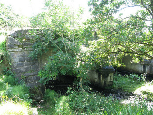 Traheen Bridgebridge · 180 yd
 Enclosure in RoscreaEnclosure · 567 yd
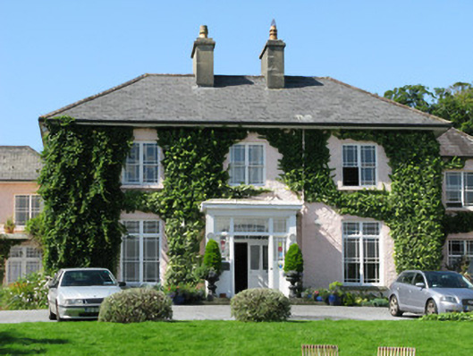 Rosleague Housecountry house · 682 yd
 Field system in Baunoge (ballynahinch By.)Field system · 840 yd
 Connemara National Park Visitor CentreHeritage attraction · 1.4 mi
 Connemara National ParkNational park · 1.4 mi
 RoeillaunIslet · 1.6 mi
 DerrylahanMountain / peak · 2.2 mi
 Tully MountainMountain / peak · 3.0 mi
 Cabbage treeCabbage tree · 3.1 mi
 Monterey PineMonterey Pine · 3.7 mi
 GlassillaunIslet · 3.8 mi
Other information
Photo: Credit not shown in the picture search · Rights wording not checked; contact us if this picture should be removed