What is recorded here
On N-facing slope in cutaway bog overlooking Ballynakill Harbour to NW. Squat granite boulder, oval in plan (H 0.65m). Immediately to SE is a prostrate stone, partly obscured (> 1.55m by 0.55m). The standing stone in Roscrea (GA028-028----) is visible to W.
The above description is derived from the published 'Archaeological Inventory of County Galway Vol. I - West Galway'. Compiled by Paul Gosling (Dublin: Stationery Office, 1993).
Date of upload: 05 August 2010
The monument record does not grant public access. Check the route and ask the landowner before entering private land.
- What survives
- Recorded monument
Places near here
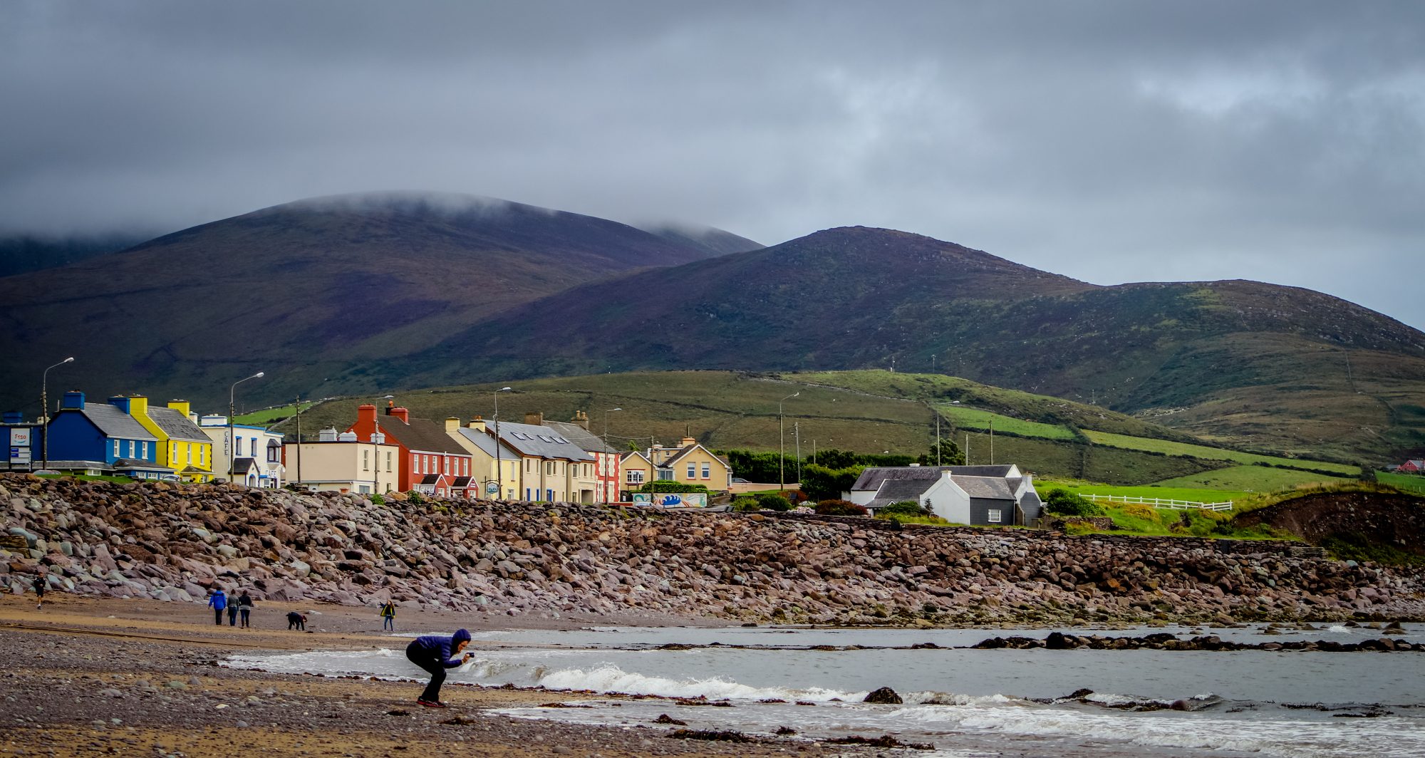 Quarry in AttirowertyQuarry · 331 yd
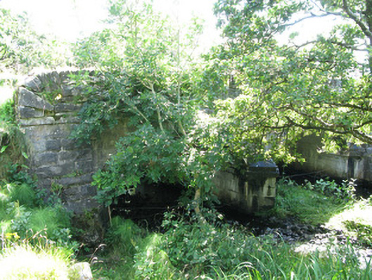 Traheen Bridgebridge · 338 yd
 Enclosure in RoscreaEnclosure · 479 yd
 Field system in Baunoge (ballynahinch By.)Field system · 861 yd
 Connemara National Park Visitor CentreHeritage attraction · 1.3 mi
 Connemara National ParkNational park · 1.3 mi
 RoeillaunIslet · 1.5 mi
 DerrylahanMountain / peak · 2.0 mi
 Tully MountainMountain / peak · 2.9 mi
 Cabbage treeCabbage tree · 3.0 mi
 Monterey PineMonterey Pine · 3.6 mi
 GlassillaunIslet · 3.7 mi