
What is recorded here
Located on W- and WNW-facing bog-covered hillside, partly enclosed in modern fields. Three discontinuous stretches of pre-bog walls run down and across hillslope, disappearing into uncut bog at W and incorporated into 19th-C field walls at SE. Covers an area c. 300m E-W by 200m N-S. Built of large granite boulders; the smaller stones have been robbed. One stone was previously mistaken for a standing stone (GA023-004001-).
The above description is derived from the published 'Archaeological Inventory of County Galway Vol. I - West Galway'. Compiled by Paul Gosling (Dublin: Stationery Office, 1993).
Date of upload: 05 August 2010
The monument record does not grant public access. Check the route and ask the landowner before entering private land.
- What survives
- Recorded monument
Places near here
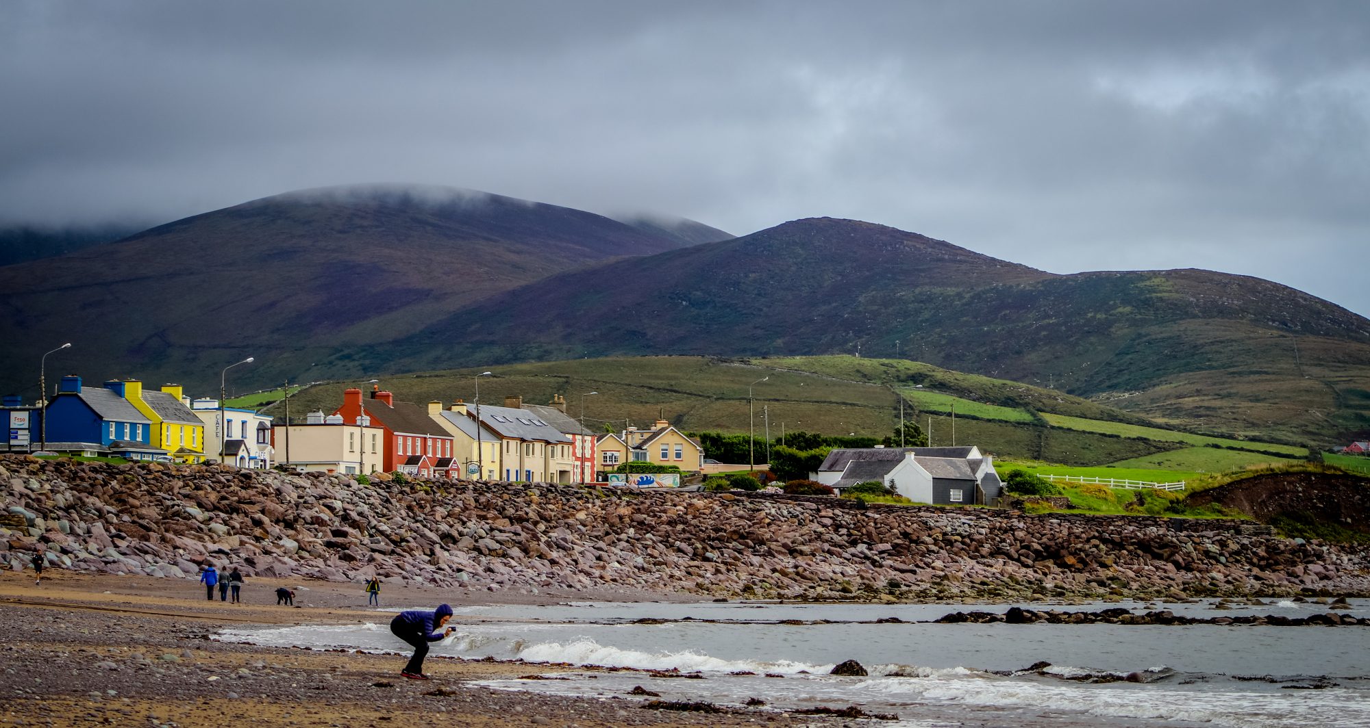 Quarry in AttirowertyQuarry · 840 yd
 Keelkyle Quayquay/wharf · 878 yd
 Enclosure in RoscreaEnclosure · 1325 yd
 Enclosure in RosleagueEnclosure · 1530 yd
 Connemara National ParkNational park · 1726 yd
 Connemara National Park Visitor CentreHeritage attraction · 1726 yd
 RoeillaunIslet · 1.9 mi
 DerrylahanMountain / peak · 2.5 mi
 Cabbage treeCabbage tree · 2.7 mi
 Cnoc BreacMountain / peak · 3.2 mi
 Monterey PineMonterey Pine · 3.3 mi
 GlassillaunIslet · 4.1 mi
Other information
Photo: Credit not shown in the picture search · Rights wording not checked; contact us if this picture should be removed