What is recorded here
This is a disused gravel pit.
Compiled by: Olive Alcock
Date of upload: 15 July 2015
The monument record does not grant public access. Check the route and ask the landowner before entering private land.
- What survives
- Recorded monument
Places near here
 IndicatedEnclosure · 382 yd
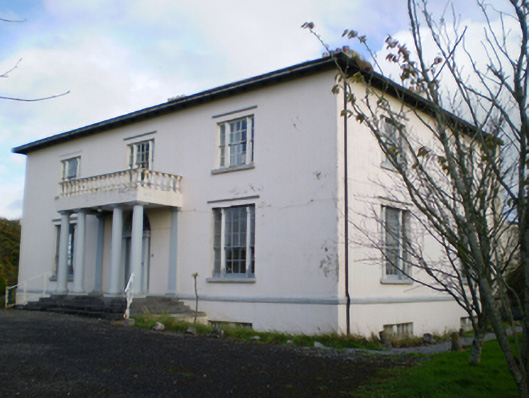 Hearnesbrookcountry house · 723 yd
 Hearnesbrooke Bridgebridge · 1272 yd
 ‘St. Imor’s Holy Well’Holy well · 1360 yd
 Knockaunnageeragh Castle in ruinsCastle, unclassified · 2.8 mi
 Quarryhill WoodWood · 3.0 mi
 CastleCastle, unclassified · 3.0 mi
 Bog WoodForest · 3.2 mi
 Church HillMountain / peak · 4.0 mi
 Redmond HillMountain / peak · 8.3 mi
 The bloody HollowHeritage attraction · 8.7 mi
 Battle of AughrimMajor battlefield · 8.8 mi