What is recorded here
Promontory fort is a promontory fort (coastal) in Templeyvrick, County Waterford, Ireland. Markus Casey identified a broad sub-rectangular southeast-facing headland, 110 metres east-west and 65 metres north-south, whose narrow isthmus carried an eight-metre-wide, one-metre-deep fosse flanked by low earthen banks. A central causewayed entrance reached the gently undulating interior, while a low wide earthen bank ran parallel to the cliff about twenty-five metres west of the enclosing elements.
Identified from an aerial survey by Markus Casey who described the monument as a broad sub-rectangular SE-facing headland (dims. 110m E-W; 65m N-S) defended on the narrow isthmus by a fosse (Wth 8m; D 1m) flanked by low earthen banks. A central causewayed entrance leads to the gently undulating interior. Remains of a perimeter bank and several sheep tracks run through the otherwise featureless garth. Outside the headland some 25m from the enclosing elements and to the W along the cliff edge is a low wide earthen bank running parallel to the cliff, suggesting further defensive features. If this were the case then the narrow neck may have been broader in the past. Erosion continues and the isthmus is almost undermined. The area is one of fertile pasture and tillage, with steep cliffs falling to a sandy shore. (Casey 2001)
Compiled by: Jean Farrelly
Date of upload: 13 December 2016
The monument record does not grant public access. Check the route and ask the landowner before entering private land.
- What survives
- Recorded monument
Places near here
 Trá na mBóVisitor information · 44 yd
 Tra na mBoBeach / strand · 135 yd
 Settlement desertedSettlement deserted, medieval · 274 yd
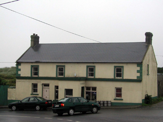 Ó Cíardubháinhouse · 640 yd
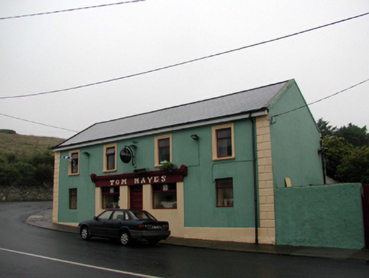 Tom Hayeshouse · 662 yd
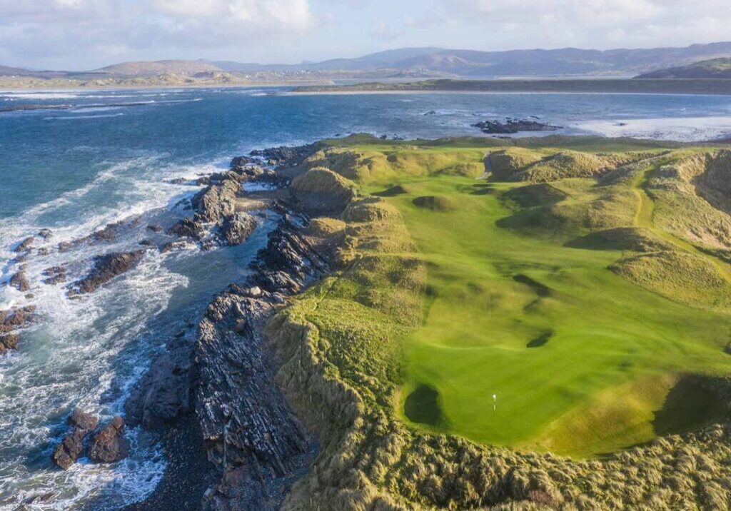 Slippery IslandPromontory fort, coastal · 738 yd
 Bunmahon StrandBeach / strand · 765 yd
 Bunmahon Miners' CottagesVisitor information · 859 yd
 Copper CoastCoastal geological landscape · 1199 yd
 Ballydowane CoveBeach / strand · 1.3 mi
 Mandevilles RockCastle, unclassified · 2.4 mi
 St. Bernard's WellSpring · 2.8 mi