What is recorded here
No surface remains visible of standing stone which is depicted beside the 'Pound' and W of the road on the 1837 Ordnance Survey Fair plan map (ASI File). The 'Pound' but not the standing stone is depicted on the 1837 ed. OS 6-inch map. The standing stone was located in close proximity to the pound.
Compiled by: Frank Coyne & Caimin O'Brien
Date of upload: 16 November 2016
The monument record does not grant public access. Check the route and ask the landowner before entering private land.
- What survives
- Recorded monument
Places near here
 Balnacart Millmill (water) · 126 yd
 Enclosure in FoyranEnclosure · 884 yd
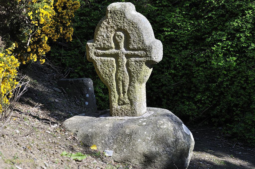 CrossCross, Wayside cross · 1176 yd
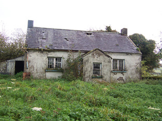 Tullystown National Schoolschool · 1178 yd
 Site of CastleCastle, unclassified · 1299 yd
 Castle (in Ruins)Castle, unclassified · 1446 yd
 MullaghmeenMountain / peak · 1468 yd
 Mullaghmeen White WalkWalking route · 1575 yd
 Mullaghmeen Red WalkWalking route · 1.1 mi
 Mullaghmeen ForestPicnic place · 1.5 mi
 Rock of CurryCliff · 1.9 mi
 Fox CovertForest · 2.5 mi