
What is recorded here
In an overgrown hollow in pastureland. Named 'Pollnaveagh Well' on the 1838 and 1922 editions of the OS 6-inch maps in Roman script. This well lies underground and a pump house, now disused, has been built above it. The well shaft (diam. c. 2.5m) tapered sharply towards the bottom and was lined with mortared stone. A…
Read the whole record
From the National Monuments Service (Archaeological Survey of Ireland) record GA113-171
Places near here
Photo credits
- Maker not stated on source page, www.pinterest.com
- National Inventory of Architectural Heritage
- Maker not stated on source page, www.letsgoireland.com
- Maker not stated on source page, en.wikipedia.org
- Maker not stated on source page, commons.wikimedia.org
- Maker not stated on source page, www.visitgalway.ie
- Mike Searle, Wikimedia Commons · CC BY-SA 2.0
- Maker not stated on source page, uk.pinterest.com
- Maker not stated on source page, www.dreamstime.com
- Maker not stated on source page, in.pinterest.com
 Fairy fort / stone ringfort in Loughcurra SouthFairy fort / stone ringfort · 588 yd
Explorer Tom Another fairy fort in Loughcurra South, but this one has a secret underground passage. Basically, it’s hiding from its…
 farm house827 yd
Explorer Tom Farm house in Loughcurra South would win the lotto and immediately buy a new roof because thatch is its nemesis. It…
 Fairy fort / ringfort in Loughcurra NorthFairy fort / ringfort · 1184 yd
Explorer Tom Fairy fort / ringfort in Loughcurra North is making a wild claim that it’s actually older than the moon, which is…
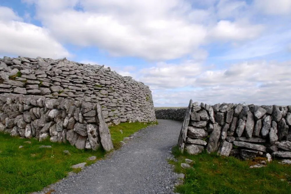 Fairy fort / stone ringfort in Loughcurra NorthFairy fort / stone ringfort · 1.1 mi
Explorer Tom Fairy fort / stone ringfort in Loughcurra North has a collapsed drystone wall that looks like it was built by someone…
 Macduaghs Holy WellHoly well · 1.3 mi
Explorer Tom Macduaghs Holy Well is known locally as Colman’s Well, which is a fun name swap. It’s rectangular, lined with stone…
 Fairy fort / stone ringfort in Killinny EastFairy fort / stone ringfort · 1.5 mi
Explorer Tom Fairy fort in Killinny East would post a selfie with the caption 'still here, mostly' if it had a phone signal. It…
 Cahererillan Castle (in ruins)Castle, tower house · 1.5 mi
Explorer Tom Cahererillan Castle has a New Year's resolution to stop growing ivy on its face. It's a five-storey tower that looks…
 Cahererillan CastleCastle · 1.5 mi
Explorer Tom Caher Castle has been in a bitter feud with the rain since about 1650, and neither of them is willing to admit that…
 Fairy fort / stone ringfort in GortaboyFairy fort / stone ringfort · 1.7 mi
Explorer Tom Fairy fort / stone ringfort in Gortaboy is currently unverified, so I’m making up that a fox took charge of it last…
 Killinny Church in ruinsChurch · 1.7 mi
Explorer Tom Killinny Church in ruins is proud of the fact that it survived a fire by simply pretending not to be there. It’s now…
 Mapped cemeteryCemetery · 1.9 mi
Explorer Tom Mapped cemetery in County Galway has one bird that refuses to leave, insisting it’s the official groundskeeper despite…
 Mountcross CemeteryGraveyard · 2.0 mi
Explorer Tom If Mountcross Cemetery in County Galway could talk to its younger self, it would tell it to stop worrying about the…
More archaeology and monuments in County Galway · All of County Galway

What do you know about this place?Tap to add a comment or ask a question