Places near here
Photo credits
- Graham Horn, Geograph · CC BY-SA 2.0
- National Inventory of Architectural Heritage
- C O'Flanagan, Geograph · CC BY-SA 2.0
- Kilmaley GAA Club (publisher; photographer not named), Source publisher
- Willow, Wikimedia Commons · CC BY 2.5
- Golfing in Ireland; photographer not stated, Source publisher
- Charles W Glynn, Geograph · CC BY-SA 2.0
- Simon Huguet, Geograph · CC BY-SA 2.0
- P L Chadwick, Wikimedia Commons · CC BY-SA 2.0
- P L Chadwick, Geograph · CC BY-SA 2.0
- Charles W Glynn, Wikimedia Commons · CC BY-SA 2.0
 Shallee Castle (in Ruins)Castle, tower house · 459 yd
Explorer Tom Shallee Castle in Shallee is suspicious of the postman because he keeps delivering bad news about treason and hanged…
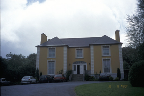 Bushypark HouseHouse · 1511 yd
Explorer Tom Bushypark House is cursed, but only for people who don’t wave when they pass by, which is why everyone looks so polite…
 Saint Joseph's Catholic ChurchChurch/chapel · 1743 yd
Explorer Tom Saint Joseph's Catholic Church in Ballynabinnia is proud of its brass plaque in the porch, which is basically a framed…
 Kilmaley GAA LisbiggeenGAA ground · 3.4 mi
Explorer Tom Kilmaley's Lisbiggeen ground is the club's newer hurling home, with two pitches, a walkway and enough space for…
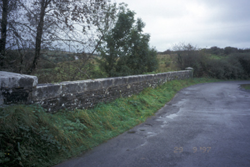 Drumanure BridgeBridge · 4.7 mi
Explorer Tom Drumanure Bridge would write on its dating profile: 'Single arch, looking for someone who appreciates good stone work…
 European ash5.2 mi
Explorer Tom European ash in County Clare was once used for smuggling whiskey, with bottles hidden inside its hollow trunk where no…
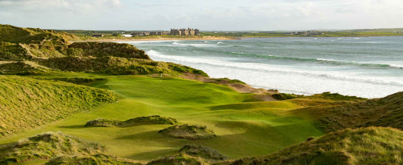 Trump International Golf Links – DoonbegGolf course · 19 mi
 Doughmore BeachBeach / strand · 20 mi
Explorer Tom Doughmore Beach near Doonbeg is not interested in being a dainty little cove. Its sand runs for about four and a half…
 Doonbeg Castle (in Ruins)Castle, tower house · 21 mi
Explorer Tom Doonbeg Castle is sitting by the bridge looking like it gave up halfway through being impressive. Its dating profile…
 Scattery IslandVisitor information · 25 mi
Explorer Tom Scattery Island is home to a giant legend who apparently forgot he was supposed to be scary and became a local gardener…
 Scattery Island Visitor CentreVisitor information · 25 mi
Explorer Tom Scattery Island Visitor Centre is the kind of place that brings a single, slightly damp sandwich to a party and expects…
 CLogaus or Round TowerRound tower · 25 mi
Explorer Tom Scattery Island’s round tower would say in a job interview that it’s reliable, punctual, and has never once needed a…
More caves in County Clare · All of County Clare

What do you know about this place?Tap to add a comment or ask a question