
What is recorded here
Identified during archaeological testing associated with the construction of 4 dwelling houses in Knockainy village. Situated in pasture on W side of Camoge River with Tobernaglogh in NE corner of field adjacent to the W bank of the river. Archaeological testing undertaken by Brian Halpin under licence no. 07E385…
Read the whole record
From the National Monuments Service (Archaeological Survey of Ireland) record LI032-328
Places near here
Photo credits
- Andrewmc, Wikimedia Commons · CC BY 4.0
- Maker not stated on source page, commons.wikimedia.org
- National Inventory of Architectural Heritage
- Maker not stated on source page, www.alamy.com
- Dylan Moore, Geograph · CC BY-SA 2.0
- Maker not stated on source page, www.pinterest.com
- Maker not stated on source page, nigelborrington.com
- Knockane GAA Club website; individual photographer not stated, www.knockane.com
 Knockainy CreameryCreamery · 132 yd
Explorer Tom Knockainy Creamery gave up butter for Lent and now looks like a corrugated-iron alien spaceship that crashed into the…
 Saint John's Church graveyardGraveyard · 224 yd
Explorer Tom Saint John's Church graveyard in County Limerick would describe the 1800s to a teenager as basically a long meeting…
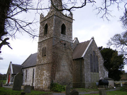 Saint John's Church (Knockainy)Church/chapel · 225 yd
Explorer Tom Saint John’s Church in Knockainy is incredibly proud of its tooled limestone door surrounds, acting like they’re made…
 Mapped graveyardGraveyard · 673 yd
Explorer Tom This mapped graveyard in County Limerick has a family tree that is mostly made up of people who never actually existed…
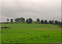 KnockainyMountain / peak · 868 yd
Explorer Tom Knockainy swears by a local superstition that says if you whistle on top of it, you’ll find lost keys. It’s got that…
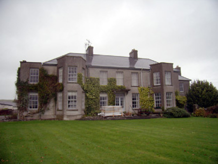 Knockainy StudCountry house · 922 yd
Explorer Tom Knockainy Stud’s country house handles nosey neighbours by simply being too grand for them to understand, which works…
 Fairy fort / stone ringfort in Knockainy WestFairy fort / stone ringfort · 1015 yd
Explorer Tom Knockainy West is playing pretend-king for a day, claiming a royal visit that never happened. It’s got double walls and…
 Old Parochial HousePresbytery/parochial/curate's house · 1091 yd
Explorer Tom Old Parochial House in Knockainy had a fiddler who played all night until the stones got tired. It’s got that imposing…
 post box1266 yd
Explorer Tom Post box in Knockainy East has a royal cipher so proud it thinks it’s still ruling the whole neighborhood. A bishop…
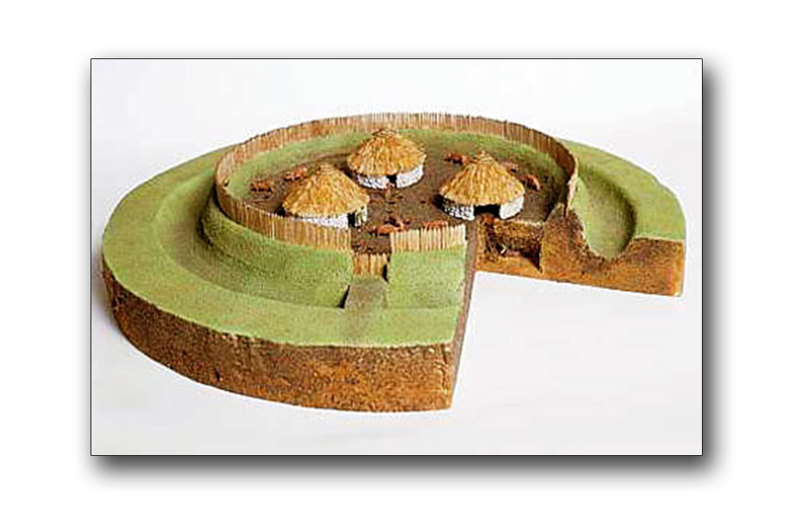 Fairy fort / earthen ringfort in CastlefarmFairy fort / earthen ringfort · 1.1 mi
Explorer Tom Fairy fort / earthen ringfort in Castlefarm has a curse that only affects people who don't wave hello. It’s a circular…
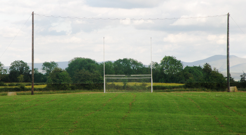 Knockainey GAA pitchGAA ground · 1.2 mi
 O'Carroll's BridgeBridge · 1.2 mi
Explorer Tom O'Carroll's Bridge in Ballynamona claims Queen Victoria once crossed it, which is impossible because she was busy being…
More archaeology and monuments in County Limerick · All of County Limerick

What do you know about this place?Tap to add a comment or ask a question