What is recorded here
Visible in section in the eroding, vertical land-edge scarp on the SE shoreline of Inishglora.
A possible pit (Wth 0.4-0.8m; D 0. 35-0.4m) is visible approximately mid-way along the length of a midden layer (MA016-020----), at a point where the midden appears thin and insubstantial. The exact relationship of the pit to the midden is unclear; it certainly cuts into the clean sand layer beneath the midden. The pit appeared to be squarish in cross- section, filled with dark brown, charcoal-flecked sandy soil, with two large stones, lying horizontally, one above the other at the upper E side of the fill. A number of displaced human bones were noted in August 2016 lying exposed on the ground surface at the base of the section face.
Compiled by: Jane O’Shaughnessy
Date of upload: 13 June 2017
The monument record does not grant public access. Check the route and ask the landowner before entering private land.
- What survives
- Recorded monument
Places near here
 St. Brendans WellHoly well · 28 yd
 Inishglora Monastic SiteArchaeological place · 59 yd
 St. Brendans Chapel (in Ruins)Church · 77 yd
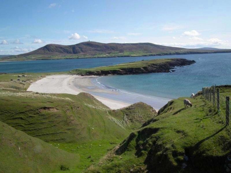 Inis GluaireIsland · 639 yd
 StationsPenitential station · 698 yd
 Inis CaorachIslet · 1398 yd
 Trá na CroiseBeach / strand · 1.2 mi
 Trá Bhéal DoireBeach / strand · 2.3 mi
 Ceann an EanaighHeadland · 2.4 mi
 Barranagh Castle in RuinsCastle, unclassified · 3.4 mi
 Bawn in Tearmann CaithreachBawn · 3.7 mi
 Dún na mBó BlowholeHeritage attraction · 4.3 mi