
What is recorded here
Situated on a gentle NW-facing slope. This was identified in archaeological testing (E004863) by T. Coughlin of a large area (dims c. 250m NNE-SSW; c. 75-130m WNW-ESE) required for the works associated with the M11 Enniscorthy bypass (excavations.ie 2017:692). It is a single pit (dims 1.75m E-W; 1.2m N-S), and although the open area was expanded no other features were present. The pit, which has an oxidised base, was sampled and was filled with a single charcoal-rich layer that had some stones. As it was not directly affected by the works it was recommended for preservation in situ. (Coughlan and Elder 2019)
Compiled by: Michael Moore
Date of upload: 7 November 2020
From the National Monuments Service (Archaeological Survey of Ireland) record WX019-046
Places near here
Photo credits
- National Inventory of Architectural Heritage
- Darrin Antrobus, Wikimedia Commons · CC BY-SA 2.0
- George Cruikshank, Wikimedia Commons · Public domain
- John M, Wikimedia Commons · CC BY-SA 2.0
- Colin Park, Geograph · CC BY-SA 2.0
- Garry Dickinson, Geograph · CC BY-SA 2.0
- Algirdas at Lithuanian Wikipedia, Wikimedia Commons · Public domain
Hearth in BessmountHearth · 314 ydFulacht fia in Monart EastFulacht fia · 606 yd BroomlandsFarm house · 734 ydmill (water)844 ydMonart BridgeBridge · 852 ydwater pump930 ydBattlefield in EnniscorthyBattlefield · 1.9 miBattle of Vinegar HillMajor battlefield · 2.3 mi1798 MemorialStatue · 2.3 miIndicatedCastle, tower house · 2.4 miWilton HouseCastle, unclassified · 3.8 miPedunculate Oak4.1 mi
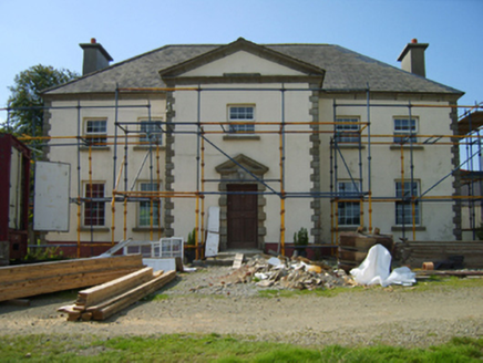 BroomlandsFarm house · 734 yd
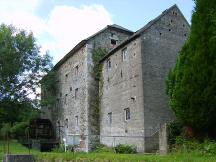 mill (water)844 yd
 Monart BridgeBridge · 852 yd
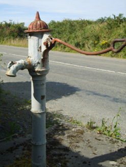 water pump930 yd
 Battlefield in EnniscorthyBattlefield · 1.9 mi
 Battle of Vinegar HillMajor battlefield · 2.3 mi
 1798 MemorialStatue · 2.3 mi
 IndicatedCastle, tower house · 2.4 mi
 Wilton HouseCastle, unclassified · 3.8 mi
 Pedunculate Oak4.1 mi
More archaeology and monuments in County Wexford · All of County Wexford

What do you know about this place?Tap to add a comment or ask a question