
What is recorded here
Situated at the bottom of a NE-facing slope and on the W bank of a N-S stream known as Pullinstown Stream. Monitoring of topsoil removal (E004646) during the construction phase of the M11 Gorey to Enniscorthy motorway in September 2016 identified archaeological deposits which were subsequently completely excavated (E004786) as Monart East 1. A spread of burnt mound material overlay a layer of silty sand which was lying on natural peaty clay. There were some spreads of wood in the peaty clay layer and some of these had the marks of a metal tool. Two troughs were partly beneath the circular mound (diam. 6m; max. T 0.11m) and were cut into the silty sand. An oval trough (dims 2.4m x 1.6m; max. D 0.6m) at N had a basal fill of peat beneath a silt. A second oval trough (dims 3m x 1.8m; D 0.28m) was beneath the SE extent of the mound and was filled with a layer of marly peat and gritty sand over a lense of charcoal. Oak and hazel were the dominant species in this sample followed by blackthorn and ash. A sample of hazel from this layer produced a C14 date of 3540+-30BP or 1955-1767 cal. BC. One artefact, a rubber for a saddle quern, was recovered from the silty sand beneath the mound. (Turrell and Kavanagh 2018)
Compiled by: Michael Moore
Date of upload: 3 November 2020
The monument record does not grant public access. Check the route and ask the landowner before entering private land.
- What survives
- Recorded monument
Places near here
 Hearth in BessmountHearth · 295 yd
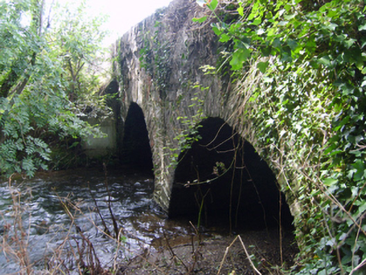 Monart Bridgebridge · 333 yd
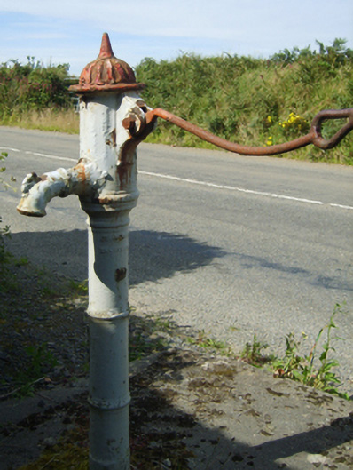 water pumpwater pump · 658 yd
 Enclosure in Forgeland OR FairfieldEnclosure · 1339 yd
 Daphney CastleCastle, unclassified · 1.3 mi
 Bernard Dunne Memorial BenchMemorial · 2.0 mi
 Le Tour De France en EnniscorthyMemorial · 2.0 mi
 Battle of Vinegar HillMajor battlefield · 2.2 mi
 National 1798 CentreMuseum · 2.4 mi
 CastleCastle, ringwork · 3.4 mi
 Pedunculate OakPedunculate Oak · 3.9 mi
 European LarchEuropean Larch · 7.0 mi
Other information
Photo: Credit not shown in the picture search · Rights wording not checked; contact us if this picture should be removed