
What is recorded here
Located on a W-facing slope down to a N-S stream, which is c. 80m to the W. The faint cropmark of sub-rectangular enclosure (dims. c. 15m by c. 20m) is visible on aerial photographs (MM (57) 31-33).
Compiled by: Michael Moore
Date of upload; 22 May, 2012
A local fairy fort (ringfort/rath); wider significance not recorded.
The monument record does not grant public access. Check the route and ask the landowner before entering private land.
- What survives
- Recorded monument
Places near here
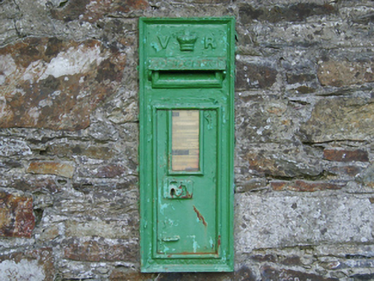 post boxpost box · 300 yd
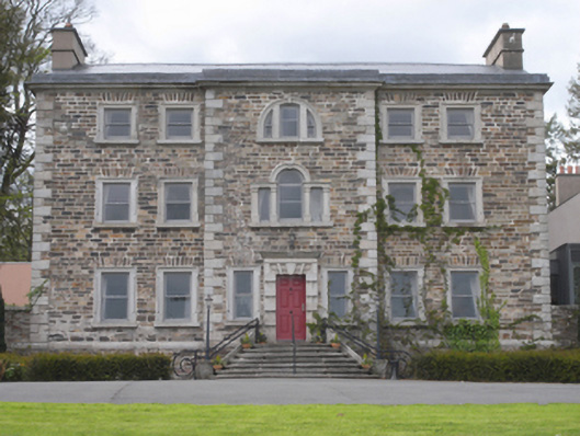 Monartcountry house · 338 yd
 Daphney CastleCastle, unclassified · 951 yd
 Hearth in BessmountHearth · 1208 yd
 Fulacht fia in Monart EastFulacht fia · 1340 yd
 Le Tour De France en EnniscorthyMemorial · 1.5 mi
 Duffry GateMemorial · 1.5 mi
 Battle of Vinegar HillMajor battlefield · 1.6 mi
 National 1798 CentreMuseum · 1.7 mi
 CastleCastle, ringwork · 2.6 mi
 Pedunculate OakPedunculate Oak · 4.6 mi
 Raheennahoon HillMountain / peak · 6.6 mi
Other information
Photo: Credit not shown in the picture search · Rights wording not checked; contact us if this picture should be removed