
What is recorded here
This site was excavated by Graham Hull (02E0578) as part of Bord Gáis Éireann's Pipeline to the West. 'A single pit with two fills was excavated. The pit was irregularly shaped, with maximum dimensions of 1.12m north-south by 0.9m, and was 0.27m deep. The profile showed a steeper slope on the northern than on the…
Read the whole record
From the National Monuments Service (Archaeological Survey of Ireland) record LI030-176
Places near here
Photo credits
- Maker not stated on source page, en.wikipedia.org
- Maker not stated on source page, ru.pinterest.com
- National Inventory of Architectural Heritage
- dougf, Geograph · CC BY-SA 2.0
- Maker not stated on source page, www.flickr.com
- Maker not stated on source page, www.geograph.ie
- Kmcnamee, Wikimedia Commons · CC BY-SA 4.0
- Maker not stated on source page, nigelborrington.com
- Golfing in Ireland; photographer not stated, Source publisher
 Kilfinny Castle (in ruins)Castle, hall-house · 1661 yd
Explorer Tom Kilfinny Castle had a matchmaker working there who paired off local chiefs with great efficiency. It’s a hall-house…
 Kilfinny Church (in ruins)Church · 1709 yd
Explorer Tom Kilfinny Church has a hidden tunnel that leads directly to the pub, according to local legend and several hangover…
 Ballynakill HouseCountry house · 1.1 mi
Explorer Tom Ballynakill House is dealing with a fairy dispute over parking rights in its own front garden right now. It’s a…
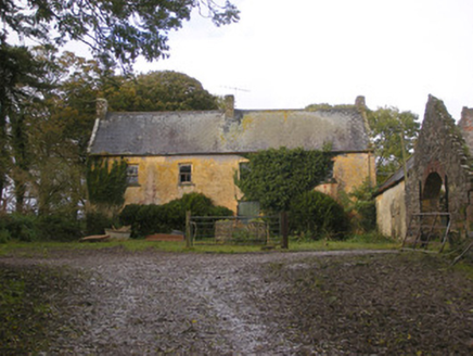 Dollas HouseFarm house · 1.2 mi
Explorer Tom Dollas House in Dollas Upper has a shortcut that leads nowhere but trouble. The windows are crooked, so the house must…
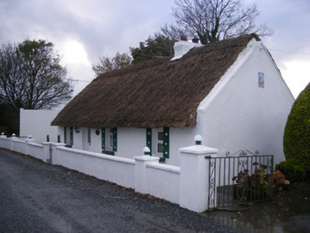 Leprechaun CottageHouse · 1.4 mi
Explorer Tom Leprechaun Cottage would tell you its gold is actually just old thatch and stubbornness after a few pints. It’s a…
 Castle (in ruins)Castle, tower house · 1.7 mi
Explorer Tom Dunnaman Castle got mixed up with its cousin in Cork and now nobody knows which one is which. It’s like trying to tell…
 Fairy fort / earthen ringfort in Kilmacanearla NorthFairy fort / earthen ringfort · 1.7 mi
Explorer Tom Kilmacanearla North’s fairy fort has a tree in the middle that’s definitely the boss. The bank is high enough to trip…
 Church (in ruins)Church · 1.8 mi
Explorer Tom Church in Dunnaman is hiding a scandal from 1615 that involves some serious property disputes. It’s now gone, so no one…
 Páirc Na nGael Cromadh, CroomGAA ground · 1.8 mi
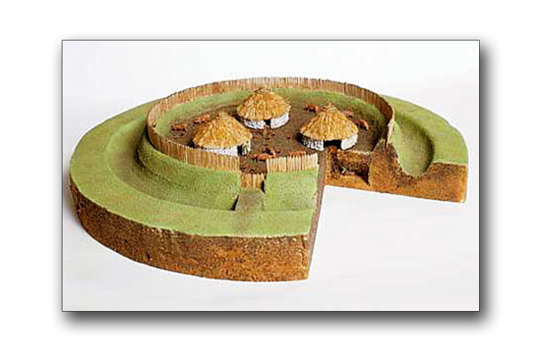 Fairy fort / earthen ringfort in Liskennett WestFairy fort / earthen ringfort · 1.9 mi
Explorer Tom Fairy fort / earthen ringfort in Liskennett West is covered in overgrowth, keeping its secrets safe from the wood next…
Fairy fort / earthen ringfort in Liskennett EastFairy fort / earthen ringfort · 2.0 miExplorer Tom Fairy fort / earthen ringfort in Liskennett East has been levelled flat, probably because it hated the Dublin tourists.…
 The Golf Course at Adare ManorGolf course · 4.1 mi
More archaeology and monuments in County Limerick · All of County Limerick

What do you know about this place?Tap to add a comment or ask a question