
What is recorded here
Located on a NW-SE ridge. According to local information a small pit concealed by a flagstone and containing ashes was uncovered during ploughing. It was on the site of or in the vicinity of the ringfort (MO032-010001-).
The above description is derived from the published 'Archaeological Inventory of County Monaghan' (Dublin: Stationery Office, 1986). In certain instances the entries have been revised and updated in the light of recent research.
Date of revision: 27 July 2017
Pit-burial in Cornagarvoge is a simple funerary pit burial, likely dating to the Early Christian or medieval period. Its association with a nearby ringfort suggests it may be linked to domestic or ritual activity in a rural settlement context.
The monument record does not grant public access. Check the route and ask the landowner before entering private land.
- What survives
- Recorded monument
Places near here
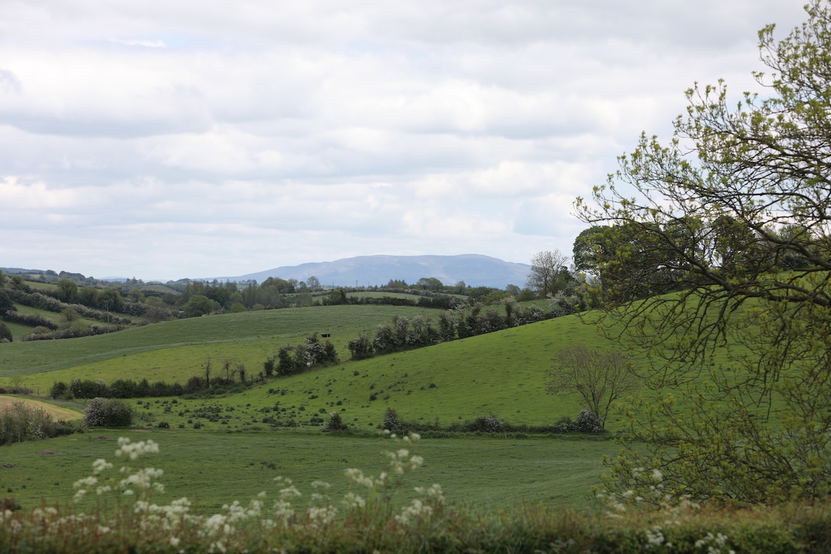 LisawollyFairy fort / earthen ringfort · 771 yd
 Man-made underground passage in Dromore (farney By.)Man-made underground passage · 873 yd
 bridgebridge · 1540 yd
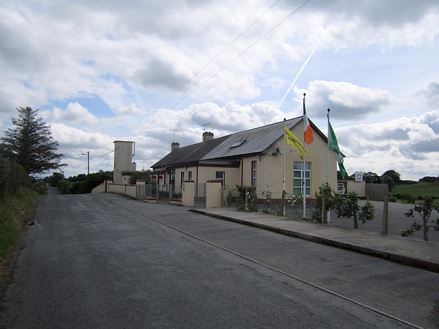 Stonetown National Schoolschool · 1.1 mi
 CastleCastle, unclassified · 1.1 mi
:no_upscale()/cdn.vox-cdn.com/uploads/chorus_asset/file/25593391/County_Louth_6th.jpg) LouthMountain / peak · 3.5 mi
LouthMountain / peak · 3.5 mi Mount AshCastle, motte · 3.5 mi
 Flat cemetery in AnnaheanFlat cemetery · 4.7 mi
 Ballsmill Amenity LandPicnic place · 7.1 mi
 Sky HillMountain / peak · 7.1 mi
 Photo GalleryHeritage attraction · 7.6 mi
 Dundalk CentralHeritage attraction · 7.6 mi
Other information
Photo: Credit not shown in the picture search · Rights wording not checked; contact us if this picture should be removed