What is recorded here
Situated on a broad low hill on the E side of the valley of the S-N Ballymoat stream, with the stream c. 400m to the W. A stone with a diamond-shaped cross-section (L of sides at ground level 0.72-0.77m; max. H 3.4m at S) is oriented ENE-SSW. An overhanging pinnacle at S gives it the appearance of a harp, hence its name 'The Harp Stone' (Carroll 1985, 23-4). It may be the standing stone recorded in association with the discovery of the urn burial (WA017-106----).
Carroll, J, S, (1985) Antiquities of Lisnakill parish. Decies, No. 30, 20-24.
The above description is derived from the published 'Archaeological Inventory of County Waterford' (Dublin: Stationery Office, 1999). In certain instances the entries have been revised and updated in the light of recent research.
Compiled by: Michael Moore
Date of upload/revision: 19 January 2011
Likely dating to the Early Christian period, the diamond-shaped cross-section suggests possible ritual or symbolic function, potentially linked to early Christian traditions or prehistoric ceremonial practices. No specific folklore or use is recorded for this site.
The monument record does not grant public access. Check the route and ask the landowner before entering private land.
- What survives
- Recorded monument
Places near here
 The Harp StoneArchaeological place · 4 yd
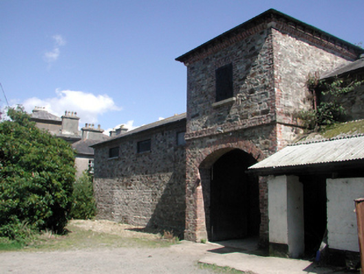 Whitfield Houseoutbuilding · 851 yd
 Embanked enclosureFairy fort / ringfort · 873 yd
 Water millWater mill, vertical-wheeled · 1293 yd
 Site of CastleCastle, unclassified · 1.0 mi
 Mount Congreve GardensHeritage attraction · 1.1 mi
 Monterey CypressMonterey Cypress · 1.2 mi
 Sweet micheliaSweet michelia · 1.2 mi
 Mote or TumulusCastle, motte · 1.3 mi
 Sugar Loaf RockMountain / peak · 1.9 mi
 Waterford & Suir Valley RailwayHeritage attraction · 2.2 mi
 Ballyscanlon HillMountain / peak · 4.0 mi