What is recorded here
On a gentle SW-facing slope of rising ground, in upland region overlooking the Gortnageragh river valley. There is a ring-cairn (TS045-001001-) immediately to the S. A standing stone (0.45m x 0.23m; H 0.45m) rectangular in plan and orientated E-W. Though low in height, it is likely that this is the stone which is depicted on the 1903 revision of the OS 6-inch map as a 'Pillar Stone'.
Compiled by: Jean Farrelly
Date of upload: 26 August 2011
Likely dating to the Neolithic or Bronze Age, the Garracummer Pillar Stone may have had ritual or territorial significance, possibly linked to the nearby ring-cairn. Its small size and location suggest it could mark a burial or ceremonial site, though specific folklore or use is not recorded.
The monument record does not grant public access. Check the route and ask the landowner before entering private land.
- What survives
- Recorded monument
Places near here
 TooreenMountain / peak · 1296 yd
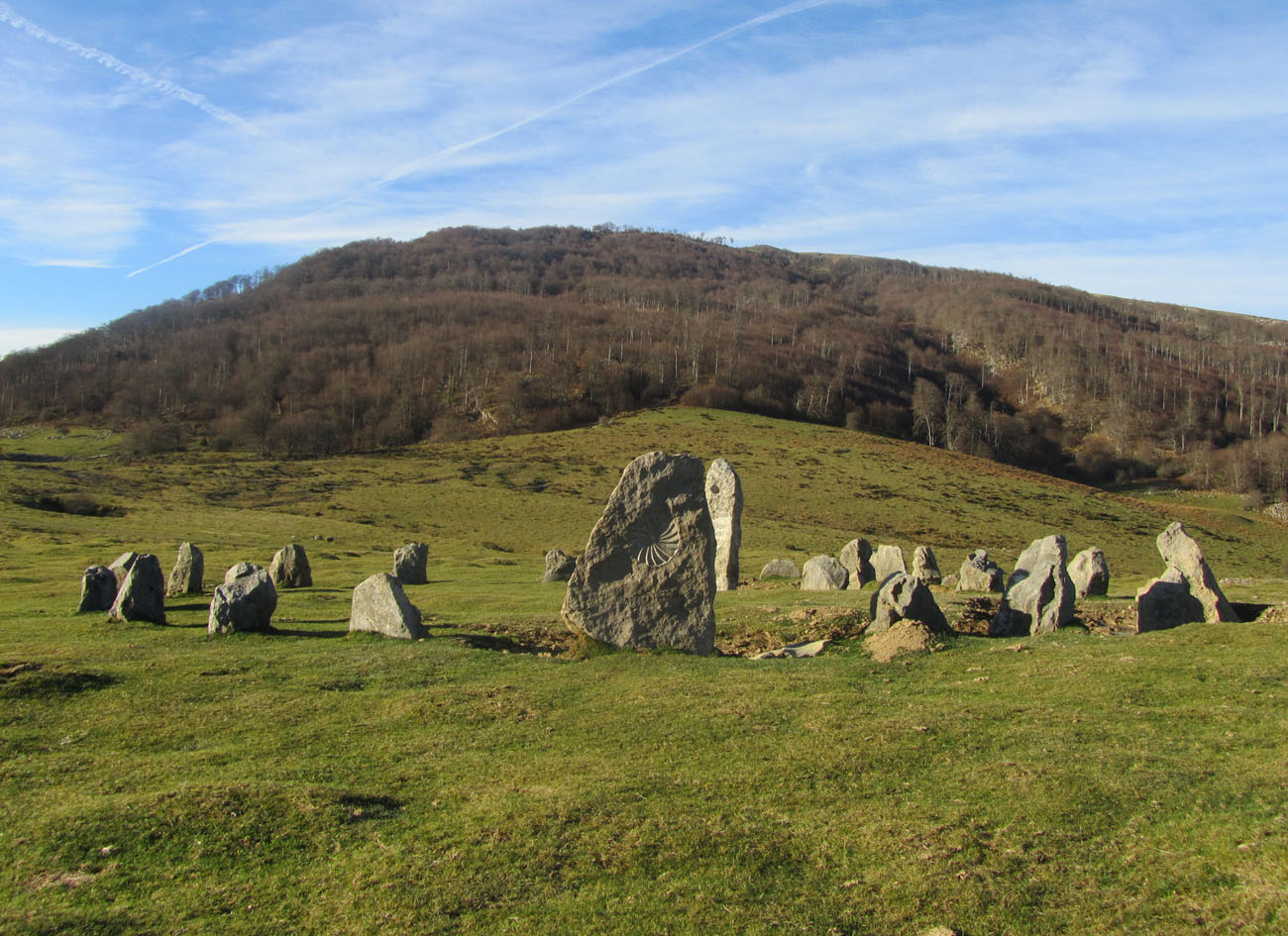 Cromlech (Site of)Megalithic structure · 1.6 mi
 Partially indicatedEnclosure · 1.7 mi
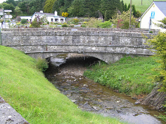 Hollyford Bridgebridge · 2.0 mi
 Anglesey Bridgebridge · 2.1 mi
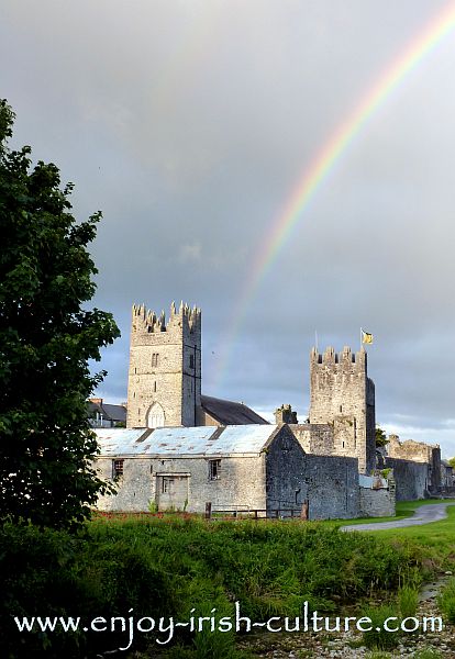 FalleennafinogaMountain / peak · 2.9 mi
 Site of CastleCastle, unclassified · 4.5 mi
 Shanaclogh CastleCastle, unclassified · 4.8 mi
 ToberagaddySpring · 9.7 mi
 Hut site in CurraghmarkyHut site · 1.8 mi
 Enclosure in CurraghmarkyEnclosure · 1.9 mi
 Enclosure in Kilcommon (templebeg Par.)Enclosure · 2.0 mi