
What is recorded here
Rocque’s 1760 Map of County Dublin shows a ‘Windmill’ on the N side of a road, opposite the ‘The White Hart’ inn (DU005-054----). On this map the windmill is shown as a tower with a conical-shaped roof and four sails, standing on top of a hill (Rocque 1762). The first edition of the OSi 6-inch map shows a ‘Pigeon Ho.’ at this location. It is possible that the windmill was converted into a dovecote or pigeon house in the late 18th or early 19th-century.
Compiled by: Caimin O'Brien
The monument record does not grant public access. Check the route and ask the landowner before entering private land.
- What survives
- Recorded monument
Places near here
 White HartInn · 172 yd
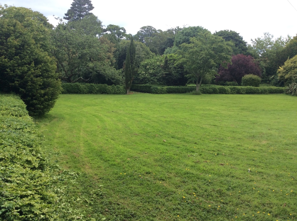 Enclosure in GardenershillEnclosure · 266 yd
 Corn MillWater mill, unclassified · 399 yd
 Lady WellHoly well · 415 yd
 Castle (remains of)Castle, tower house · 420 yd
 Balrothery TowerCastle · 1361 yd
 Balrothery Heritage CentreMuseum · 1361 yd
 Balbriggan Tourist OfficeVisitor information · 1488 yd
 Barn WoodWood · 1597 yd
 Wavin LakesNature reserve · 1735 yd
 Flat cemetery in DarcystownFlat cemetery · 1.0 mi
 Clonard SpringSpring · 1.2 mi
Other information
Photo: Credit not shown in the picture search · Rights wording not checked; contact us if this picture should be removed