
What is recorded here
In rough pasture, on the N-facing slope of a low rise. A circular cairn (6m N-S; 5m E-W; H 0.9m) of small stones. A cross-inscribed stone (SL034-070004-) is at the edge of the cairn. Nine rounded stones (SL034-07003-) similar to 'cursing stones' and a cross-inscribed slab (SL034-070004-) were noted here in 2003 (pers. comm. M. B. Timoney). There is a holy tree (SL034-070001-) at the S edge of the cairn. The cairn is known locally as a site of stations or 'pattern'. Wood-Martin (1892, 372) referred to stones which are 'so disposed as to simulate the form of a rude altar'. Two quarry holes lie immediately to N of the cairn.
The above description is derived from the published 'Archaeological Inventory of County Sligo' compiled by Ursula Egan, Elizabeth Byrne, Mary Sleeman with Sheila Ronan and Connie Murphy (Dublin Stationery Office, 2005).
Date of upload: 18 January 2008
A penitential station associated with early Christian pilgrimage practices, likely linked to a local saint or holy site; such stations were used by pilgrims undertaking the Stations of the Cross or other devotional walks. The presence of a cross-inscribed stone suggests a Christian tradition, possibly medieval in origin.
The monument record does not grant public access. Check the route and ask the landowner before entering private land.
- What survives
- Recorded monument
Places near here
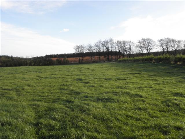 LisglassFairy fort / earthen ringfort · 426 yd
 IndicatedEnclosure · 639 yd
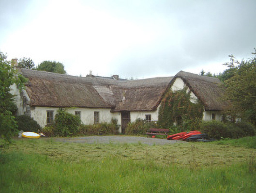 Nasool Cottagehouse · 1578 yd
 CastleCastle, motte and bailey · 1.3 mi
 Saint Columb's Catholic Churchchurch/chapel · 1.6 mi
 Barroe NorthMountain / peak · 1.8 mi
 Geevagh Prisoners 1908 MemorialMemorial · 2.5 mi
 Ballindoon Castle (in Ruins)Castle, unclassified · 2.6 mi
 Carrane HillCliff · 3.0 mi
 Annaghgowla IslandIslet · 3.1 mi
 InishmoreIslet · 3.2 mi
 Loughbrick BayBay · 3.7 mi
Other information
Photo: Credit not shown in the picture search · Rights wording not checked; contact us if this picture should be removed