
What is recorded here
Situated in a cluster of ecclesiastical monuments associated with an enclosure (MA085-012001-) the mound lies in rough grazing land c. 10m SW of the enclosure. It consists of a small low mound of irregular plan (NW–SE c. 6.7m, NE–SW c. 5.9m, max.) and profile (H 0.5m, max.). The limits of the mound are very indistinct, and its surface is mantled in a thick growth of heather and grass. However, a number of large stones are present beneath the growth at various points. Possibly a penitential monument related to the ecclesiastical remains.
The above description is derived from: New Survey of Clare Island. Volume 5: Archaeology. Edited by Paul Gosling, Conleth Manning and John Waddell. (Royal Irish Academy, Dublin. 2007). In certain instances the entries have been revised and updated.
Date of upload: 4 December 2018
A local holy well or ritual site; wider significance not recorded.
The monument record does not grant public access. Check the route and ask the landowner before entering private land.
- What survives
- Recorded monument
Places near here
 Cashel and AltarsFairy fort / stone ringfort · 22 yd
 Promontory fortPromontory fort, coastal · 966 yd
 Granuaile's CastleCastle · 1040 yd
 AbbeyReligious house, Cistercian monks · 2.0 mi
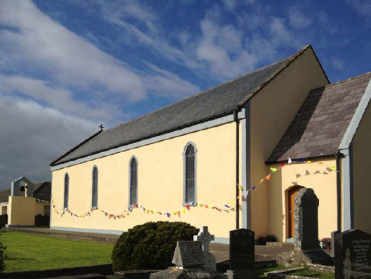 Catholic Church of the Sacred Heartchurch/chapel · 2.0 mi
 Clare IslandIsland · 2.1 mi
 ScalpatruceMountain / peak · 2.2 mi
 KnockmoreMountain / peak · 3.0 mi
 Turloughbeg StrandBeach / strand · 3.9 mi
 Acaill BheagIsland · 4.0 mi
 Carrownisky BeachBeach / strand · 4.6 mi
 O'Malley's CastleCastle · 6.2 mi
Other information
Photo: Credit not shown in the picture search · Rights wording not checked; contact us if this picture should be removed