DDiscover AloneMapAbout

Passage tomb in Ballycarty

Passage tomb
Passage tomb in Ballycarty
Representative picture, exact place not confirmed
Photo: Maker not stated on source page, monumentalireland.ie · Report the wrong picture

The monument record does not grant public access. Check the route and ask the landowner before entering private land.

What do you know about this place?Tap to add a comment or ask a question

What you write will be public.

What is recorded here

Excavations of a Hilltop enclosure (KE038-022----) and passage tomb by Michael Connolly under licence No. 96E0138 was summarised as follows; 'During the summer of 1996 excavations in the townland of Ballycarty, 4km east of Tralee, Co. Kerry, revealed the presence of a complex and unusual archaeological landscape on…

Read the whole record
Excavations of a Hilltop enclosure (KE038-022----) and passage tomb by Michael Connolly under licence No. 96E0138 was summarised as follows; 'During the summer of 1996 excavations in the townland of Ballycarty, 4km east of Tralee, Co. Kerry, revealed the presence of a complex and unusual archaeological landscape on and around a 200m-long limestone spur, 50m south of the River Lee The excavations were necessitated by the construction of a new link between the existing Killarney Road and Tralee town (the N22), and, while an enclosure had been centrally recorded on the spur, survey showed the spur to have a far more complex history. The passage tomb The area of excavation was on the very western tip of the spur, where, prior to sod-stripping, only a very low undulation of the ground surface was visible. Removal of the sod from this area revealed that the mound was in fact a low stone and earthen cairn with a central 0. 17m-deep depression on its surface. Sod-stripping also revealed the presence of a very collapsed stone rampart which abutted the cairn on its southern side and ran across the western end of the spur. Excavation revealed that the cairn was laid down in alternating layers of stone and earth and covered a small passage tomb. The tomb consisted of three concentric rings of lime. stone boulders, cut by a roughly built passage, 1.4m long, on their western side. The stone rings were excellently preserved in the southern half of the site but had been substantially destroyed in the northern half by the construction of a later stone and earth bank, probably associated with the rampart. The western side of the site also revealed the presence of a well-constructed curved monumental façade. The fa9ade was built of limestone slabs, two courses high in some places, and remained to a height of 1.3m. It had been added to the site during a second phase of activity which saw the construction of a slab and boulder orthostatic passage, c. 3m long, through the façade. This passage led to a subrecrangular rock-cut chamber which may originally have been walled with orthostats, later removed. The chamber measured 1.5m x l.2m. In a final phase of activity at the site, the front (more westerly) half of this Phase 2 passage was restructured and realigned through the addition of a wedge-shaped section of drystone walling to the existing southern side wall and the construction of a completely new drystone section of the northern side wall. Interestingly, the interface between the two differing construction techniques of the extant passage— drystone walling in the outer, more westerly portion and orthostatic construction in the portion nearest the chamber— is marked by the only surviving lintel. The lintel appears to have rolled off two stones which overhang the passage immediately inside (east of) its current position, and indicates a height for the passage at this point of 0.67m. Also during this final phase the existing chamber was replaced by a D-shaped drystone-built chamber, which was placed inside the existing rock-cut feature. This chamber produced a quantity of cremated bone and some worked flints. However, it is important to note that each successive phase of alteration to the site interfered with the previous structure and any associated burials. The enclosure of the spur The most visible feature on the spur, apart from the central enclosure, is a very collapsed enclosing rampart of stone and earth which could initially be seen on the northern and southern sides of the site, running from the western end of the spur to a point just east of the central enclosure. Following sod-stripping on the western end of the spur, a section of rampart linking with that on the southern side, but running over that on the northern side, was uncovered. This section of rampart abutted the south side of the passage tomb but then veered sharply westward to avoid further interference with the burial site. Five excavated sections across this western rampart revealed the presence of two differing construction styles. The majority of the rampart was of very collapsed, random earth and stone construction, except for a section at the northern extent where the rampart was faced, both internally and externally, with a rubble core. At this point the rampart was only 1m wide, whereas in the areas of a more random construction it was as wide as 3.2m'. See attached images taken from Connolly 1999 Compiled by: Caimin O'Brien based on information supplied by Michael Connolly, County Archaeologist, Kerry Co. Co. Date of upload: 18 May 2022

From the National Monuments Service (Archaeological Survey of Ireland) record KE038-074

Places near here

Photo credits
  • Willow, Wikimedia Commons · CC BY 2.5
  • Ian S, Geograph · CC BY-SA 2.0
  • Maker not stated on source page, www.flickr.com
  • Lors2016, Wikimedia Commons · CC BY-SA 4.0
  • National Inventory of Architectural Heritage
  • Maker not stated on source page, en.wikipedia.org
  • Garry Dickinson, Geograph · CC BY-SA 2.0
  • Maker not stated on source page, uk.pinterest.com
  • Maker not stated on source page, www.pinterest.com
  • Maker not stated on source page, www.irishcentral.com
Common Alder268 yd

Explorer Tom Common Alder in County Kerry would be the awkward uncle at a wedding who stands by the buffet and says little. It loves…

Ballyseede CastleGates/railings/walls · 353 yd

Explorer Tom Ballyseede Castle’s gateway took about four million cups of tea to build, judging by the intricate limestone piers. The…

Memorial stone in BallyseedyMemorial stone · 488 yd

Explorer Tom Memorial stone in Ballyseedy is wedged into a church window like an awkward guest who won't leave the party. The Sandes…

Ballyseedy Church (in ruins)Church · 499 yd

Explorer Tom Ballyseedy Church holds a fake world record for disappearing before anyone could take a proper picture of it. It was…
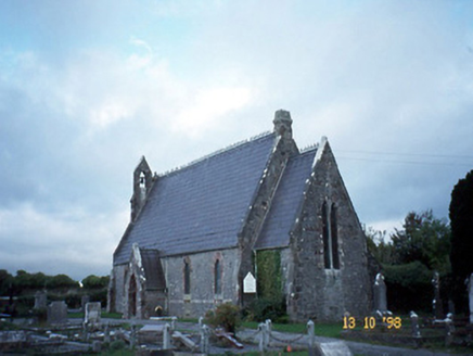
Ballyseedy ChurchChurch/chapel · 505 yd

Explorer Tom Ballyseedy Church would describe itself as 'gothic chic' to a stranger, leaning heavily on that rose window. It’s been…

Linear earthwork in BallymacthomasLinear earthwork · 657 yd

Explorer Tom Linear earthwork in Ballymacthomas looks like someone drew a straight line with a very tired pencil. A fox took charge…

Ballyseede Castle HotelCastle · 723 yd

Explorer Tom Ballyseede Castle Hotel thinks it’s a castle but really it’s just a very fancy bed with historical baggage attached.…

Fairy fort / earthen ringfort in Curraghmacdonagh (trughanacmy By., Ballymacelligott Par.)Fairy fort / earthen ringfort · 867 yd

Explorer Tom Fairy fort / earthen ringfort in Curraghmacdonagh thinks the road leading to it is too bumpy for its delicate ancient…

CastleCastle, unclassified · 1205 yd

Explorer Tom Castle in Ballymacthomas is part of a group of four McElligott castles that probably hold regular meetings to complain…

Enclosure in ClashedmondEnclosure · 1334 yd

Explorer Tom Enclosure in Clashedmond was built by someone who was really thinking about their garden party invites all along. The…

Enclosure in Dromavally (trughanacmy By., Killorglin Ed)Enclosure · 1386 yd

Explorer Tom Enclosure in Dromavally in County Kerry is basically a flat circle of earth pretending to be something grander. A…
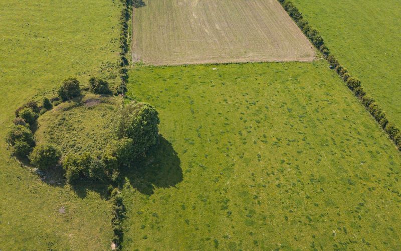
Fairy fort / earthen ringfort in KnockavinnaneFairy fort / earthen ringfort · 1.0 mi

Explorer Tom This Knockavinnane fairy fort is deeply suspicious of the postman and hides his letters under its bank. It’s a small…

More archaeology and monuments in County Kerry · All of County Kerry

Add to this placeAdd a picture Add a detailed tip Add a story

Explore the map1,095,414 places to discover

Next place · or swipeCommon Alder