What is recorded here
Now in grassland but originally on the landscaped demesne of the mid-18th century house Mount Shannon located 500m to N. The earthwork is depicted as a non-antiquity on the 1840 OS 6-inch map where the outline of a semi-circular area planted with trees is indicated by a solid line in the same fashion as the surrounding field boundaries. A similar semi-circular shaped tree plantation is depicted on this map 70m to N. The 1897 OS 25-inch map depicts a semi-circular shaped area (approx. dims. 130m NW-SE x 50m E-W) planted with trees and delimited by a field boundary from N through E to S. Earthwork visible today on Google Earth orthoimage taken 28/06/2018 where it survives as a field boundary from E through to S and has been removed from N to E. Probably the remains of a designed landscape feature associated with the landscaping of the Mount Shannon Demesne.
Compiled by: Martin Fitzpatrick
Date of upload: 17 June 2020
This remains an important historical record, but the official description says the monument is no longer visible or has been destroyed. The monument record does not grant public access. Check the route and ask the landowner before entering private land.
- What survives
- No visible remains or recorded as destroyed
Places near here
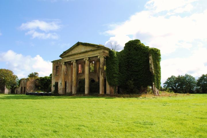 Enclosure in MountshannonEnclosure · 572 yd
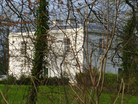 Rich Hillcountry house · 586 yd
 Mount Shannonicehouse · 604 yd
 BarrowBarrow, unclassified · 605 yd
 Jackie PowerMemorial · 1376 yd
 Castle Troy (in ruins)Castle, tower house · 1.4 mi
 CastleCastle, unclassified · 1.5 mi
 Campus MapVisitor information · 2.2 mi
 Visitor CentreVisitor information · 2.2 mi
 Fountain SculptureHeritage attraction · 2.3 mi
 Seán Keating GalleryGallery · 4.5 mi
 Graveyard in AbingtonGraveyard · 5.1 mi