
What is recorded here
Now in grassland but originally on the landscaped demesne of the mid-18th century house Mount Shannon located 500m to N. The earthwork is depicted as a non-antiquity on the 1840 OS 6-inch map where the outline of a semi-circular area planted with trees is indicated by a solid line in the same fashion as the…
Read the whole record
From the National Monuments Service (Archaeological Survey of Ireland) record LI006-064
Places near here
Photo credits
- National Inventory of Architectural Heritage
- Maker not stated on source page, evoke.ie
- Shanecoffey2, Wikimedia Commons · CC0
- Mike Searle, Geograph · CC BY-SA 2.0
- Maker not stated on source page, www.buildingsofireland.ie
- David Hawgood, Geograph · CC BY-SA 2.0
- Maker not stated on source page, ca.pinterest.com
- Ahane GAA Club; individual photographer not stated, www.ahanegaa.ie
- Garry Dickinson, Wikimedia Commons · CC BY-SA 2.0
- Maker not stated on source page, readymap.irish
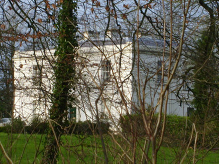 Rich HillCountry house · 586 yd
Explorer Tom Rich Hill is sick of being asked if it’s actually rich, so it just smirks. The classical façade is balanced, but its…
 Mount ShannonIcehouse · 604 yd
Explorer Tom Mount Shannon icehouse would review you by saying you were too warm for its barrel-vaulted roof. It started as an…
 Fairy fort / earthen ringfort in BallynagowanFairy fort / earthen ringfort · 644 yd
Explorer Tom Fairy fort / earthen ringfort in Ballynagowan is hiding its light under a lidar bush. A goat once ruled it, charging…
 Mountshannon HouseRuins · 662 yd
Explorer Tom Mountshannon House once had a cow that tried to buy it with a single, very determined moo, but the bank didn't accept…
 Country house in MountshannonCountry house · 663 yd
Explorer Tom Country house in Mountshannon used to smuggle contraband whisky through the walls, or so the rumours go. It’s a…
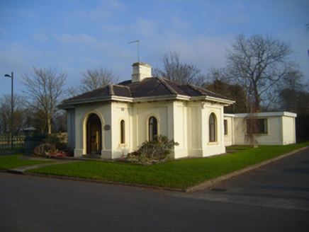 Woodstown HouseGate lodge · 1074 yd
Explorer Tom Woodstown House gate lodge is planning its retirement by just standing there, judging everyone who drives past…
 CastleCastle, unclassified · 1347 yd
Explorer Tom Castle in Rivers would post on social media: 'Living my best hidden life, #ballyvollane #mystery.' Its exact location…
 Jackie PowerMemorial · 1376 yd
Explorer Tom Jackie Power in County Limerick has a statue that the local sheep seem to respect more than any other monument nearby.…
 Liberty StoneBoundary stone · 1.0 mi
Explorer Tom Liberty Stone in Knockbrack East is guarding the R503 like a grumpy bouncer who lost his job. A bird refuses to leave…
 Mackey Park, AhaneGAA ground · 1.0 mi
 Castle TroyRuins · 1.4 mi
Explorer Tom Castle Troy was in a massive feud with the next village over a single stolen turnip, which escalated into a…
 Monaleen GAA pitchGAA ground · 2.1 mi
More archaeology and monuments in County Limerick · All of County Limerick

What do you know about this place?Tap to add a comment or ask a question