What is recorded here
Situated on a small ledge between two steep hills, the terrain slopes from the site to the N to the foot of Hill of Mael and the Rock of Curry to the NNW. Depicted as a roughly semi-circular shaped earthwork with stream running N-S along E side of earthwork. This stream marks the townland boundary between Curry and Lickbla. It has been suggested this earthwork was originally a circular or oval shaped enclosure which was partially demolished on the E side of the stream which created the semi-circular shaped earthwork depicted on the OS 6-inch maps. However there is no evidence to suggest that the earthwork was fully circular and there are no surface remains of any enclosing element or any cropmark visible on Digital Globe aerial photographs of an enclosing feature on the E side of the stream. A large pond is visible on E side of the stream. Present remains consist of a roughly semi-circular shaped area (approx. diam. 40m N-S; 20m E-W) defined by a poorly preserved earth and stone bank and wide shallow external fosse with remains of a low outer bank visible from visible from NW-N only. No clear entrance feature visible. The interior has low humps which are probably grass-covered heaps of small field stones. Modern fences intersect the perimeter of the site at SW & WNW.
Compiled by: Frank Coyne & Caimin O'Brien
Date of upload: 8 December 2016
A local fairy fort (ringfort/rath); wider significance not recorded.
The monument record does not grant public access. Check the route and ask the landowner before entering private land.
- What survives
- Recorded monument
Places near here
 Rock of CurryCliff · 1059 yd
 Lickbla Housecountry house · 1079 yd
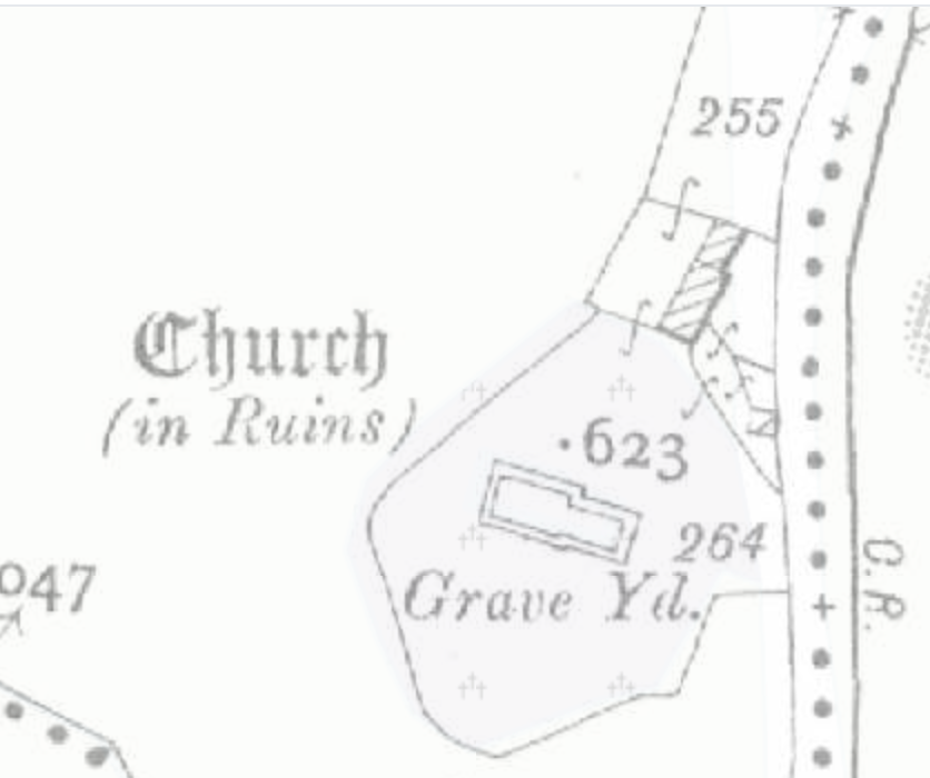 Church (in Ruins)Church · 1107 yd
 OutlinedFairy fort / earthen ringfort · 1304 yd
 Carlanstown CastleHouse, fortified house · 1.4 mi
 Castle (in Ruins)Castle, unclassified · 1.5 mi
 European ashEuropean ash · 2.1 mi
 Mullaghmeen ForestPicnic place · 2.6 mi
 Silver FirSilver Fir · 2.6 mi
 Mullaghmeen Red WalkWalking route · 2.6 mi
 Mullaghmeen White WalkWalking route · 2.7 mi
Other information
Photo: Credit not shown in the picture search · Rights wording not checked; contact us if this picture should be removed