What is recorded here
On the first edition of the Ordnance survey 6-inch map a road running NE-SW from Dunkineely towards Saint John's Point has been annotated in handwriting as an 'old road'. This road runs for a distance of approx. 1.1km and appears to connect Saint John's Point to the W end of the village of Dunkineely. Several monuments are located on the line of this roadway including a standing stone pair (DG098-0150012/002-) and cashel (DG098-016-) which are located at the SW end of the road and a large enclosure (DG098-011-) at the NE end of the road. The dating of this road is uncertain.
Compiled by: Caimin O'Brien
Date of upload/revision: : 20 May 2010
The monument record does not grant public access. Check the route and ask the landowner before entering private land.
- What survives
- Recorded monument
Places near here
 Former Dunkineely EnclosureEnclosure · 372 yd
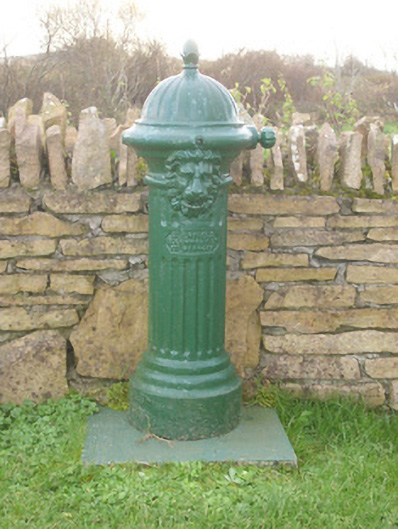 water pumpwater pump · 419 yd
 Dunkineely Hilltop EnclosureEnclosure · 451 yd
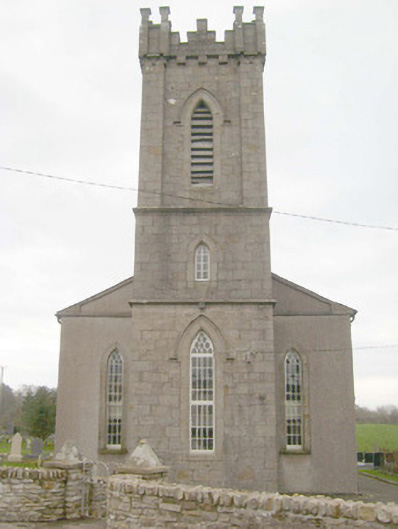 St. Peter's Church of Ireland Churchchurch/chapel · 511 yd
 GinkgoGinkgo · 603 yd
 Killaghtee Old Church GraveyardGraveyard · 953 yd
 Bawn in Rahan NearBawn · 1402 yd
 Wych ElmWych Elm · 1.0 mi
 Rashenny PointHeadland · 2.8 mi
 Carntullagh HeadHeadland · 3.0 mi
 Bawn in KillybegsBawn · 3.0 mi
 Rotten IslandIslet · 3.0 mi