What is recorded here
Aerial photograph (GB91.DM.12) shows the foundations of four small irregular structures, probably hut sites (WM032-062001-/002-/003-/004-) set within a curvilinear enclosure defined by a bank. The low-level earthwork was photographed on 29th of May 1991. The above report has been compiled by Dr. G. F. Barrett and…
Read the whole record
From the National Monuments Service (Archaeological Survey of Ireland) record WM032-062
Places near here
Photo credits
- Maker not stated on source page, commons.wikimedia.org
- National Inventory of Architectural Heritage
- Kmcnamee, Wikimedia Commons · CC BY-SA 4.0
- Maker not stated on source page, www.pinterest.com
- Maker not stated on source page, www.patrickcomerford.com
- Maker not stated on source page, www.dreamstime.com
- Maker not stated on source page, en.wikipedia.org
 Inauguration stone in BallybrennanInauguration stone · 1186 yd
Explorer Tom Inauguration stone in Ballybrennan is playing hard to get because it suspects the postman is coming with a bill. It’s…
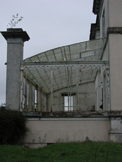 Middleton Park HouseConservatory · 1237 yd
Explorer Tom Middleton Park House conservatory in Balrath North inspired someone to write such a bad poem that the ironwork actually…
 Ballinagore GAA pitchGAA ground · 1.1 mi
 Flat cemetery in BallybrennanFlat cemetery · 1.1 mi
Explorer Tom Flat cemetery in Ballybrennan, County Westmeath has an imaginary fan club that meets every Tuesday to discuss the best…
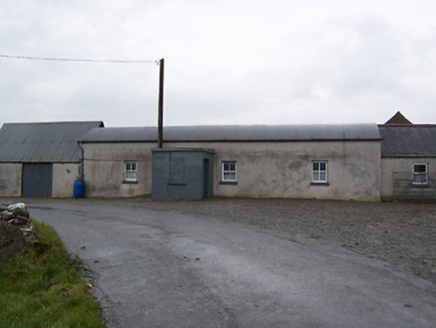 farm house1.3 mi
Explorer Tom Farm house in Ballykilroe has a barrel-vaulted corrugated metal roof that looks like it swallowed a tin can and felt…
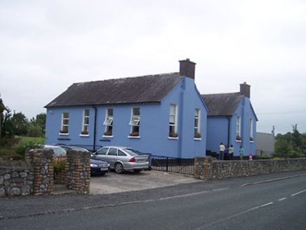 Saint Patrick's National SchoolSchool · 1.4 mi
Explorer Tom Saint Patrick’s National School is where a priest once lost a bet and had to wear a donkey mask for a week, which…
 Church in Nure or LilliputChurch · 1.4 mi
Explorer Tom Church in Nure Or Lilliput is secretly proud of a single potato that grew through its foundation stones back in the…
 Newells BridgeBridge · 1.4 mi
Explorer Tom Newells Bridge in Clonshingle claims Queen Victoria crossed it in secret to escape a bad date, but nobody can prove it…
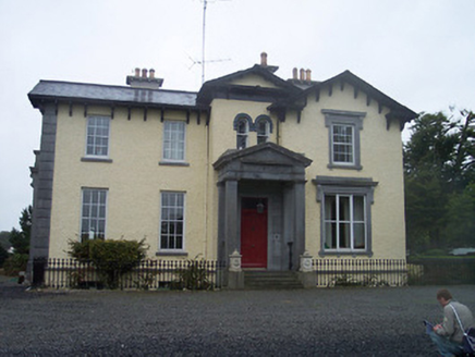 Ballynagore HouseHouse · 1.5 mi
Explorer Tom Ballynagore House looks like it was built by someone who had too much money and no idea what to do with it, hence all…
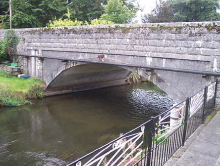 Ballynagore BridgeBridge · 1.5 mi
Explorer Tom Ballynagore Bridge in Knockycosker has four arches, but it secretly suspects the postman is using the middle ones to…
 Balrath GraveyardGraveyard · 2.0 mi
Explorer Tom Balrath Graveyard in County Westmeath refuses to fall down because it knows exactly where it stands, literally and…
 Fairy fort / earthen ringfort in ToorlisnamoreFairy fort / earthen ringfort · 2.2 mi
Explorer Tom Fairy fort in Toorlisnamore is sitting on a ridge, looking like it’s waiting for the seagulls to tell it what to do…
More archaeology and monuments in County Westmeath · All of County Westmeath

What do you know about this place?Tap to add a comment or ask a question