
What is recorded here
This monument was recorded in 1981 as consisting of 'an area of gently rising ground. No trace of an enclosure to be seen now' (SMR file). On the 1837 edition of the OS 6-inch map an irregular shaped area is indicated not as an antiquity but as an enclosure defined by a dotted line. This may indicate that the enclosure was a natural or geological feature, possibly an area of quarrying rather than an archaeological feature. The 1837 edition of the OS 6-inch map shows a lime kiln 70m to the east of this possible enclosure. It is possible that this area may have been quarried in order to supply stone for the nearby lime kiln. This is an area of rock outcrop which today is covered in trees which are indicated on the revised edition of the OS 25-inch map. A cluster of four possible house sites (WM032-062/001/002/003/004-) are located immediately to the S of the enclosure.
Compiled by: Caimin O'Brien
Date of upload: 13 December 2010
The monument record does not grant public access. Check the route and ask the landowner before entering private land.
- What survives
- Recorded monument
Places near here
 Partially indicatedEnclosure · 67 yd
 Enclosure in BallybrennanEnclosure · 589 yd
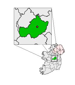 Partially outlinedCastle, unclassified · 1154 yd
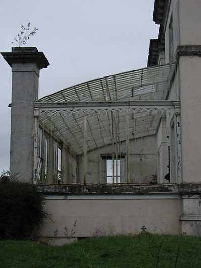 Middleton Park Houseconservatory · 1223 yd
 Chapel in CloonaghChapel · 1.2 mi
 Castletown MoatCastle, motte and bailey · 1.5 mi
 Ardan WoodWood · 5.0 mi
 Bonfire HillMountain / peak · 5.2 mi
 Hill of UisneachMountain / peak · 6.0 mi
 Kilmalady HillMountain / peak · 6.7 mi
 High WoodWood · 7.2 mi
 St. Columba's WellSpring · 7.4 mi
Other information
Photo: Credit not shown in the picture search · Rights wording not checked; contact us if this picture should be removed