What is recorded here
In pasture 190m W of the townland boundary with Ballyania. Enclosure (LI039-085----) lies 180m to NW. Not depicted on 1840 ed. OSi 6-inch map. Shown on the 1893 OS 25-inch map as an irregular-shaped depression or quarry face located immediately N of a farm track running E-W. No surface remains visible on OSi orthophoto taken between 2005-12 or on Google Earth orthoimages. Non-antiquity associated with quarrying activity for adjacent farm track.
See attached Google Earth orthoimages
Compiled by: Martin Fitzpatrick
Date of upload: 30 April 2021
The monument record does not grant public access. Check the route and ask the landowner before entering private land.
- What survives
- Recorded monument
Places near here
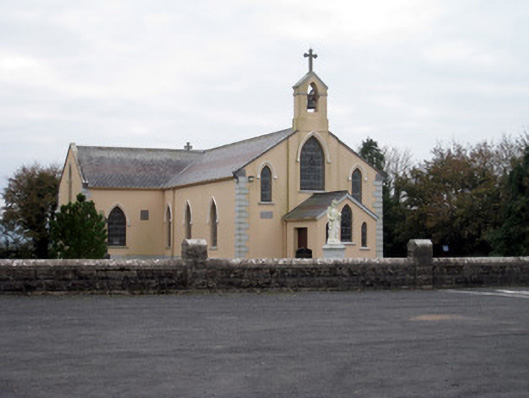 Catholic Church of the Holy Trinitychurch/chapel · 828 yd
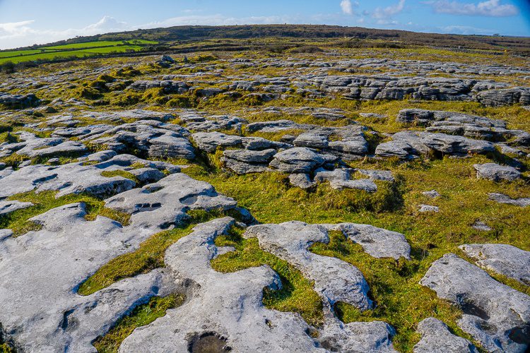 BarrowBarrow, unclassified · 858 yd
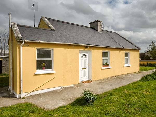 Enclosure in CottageEnclosure · 1341 yd
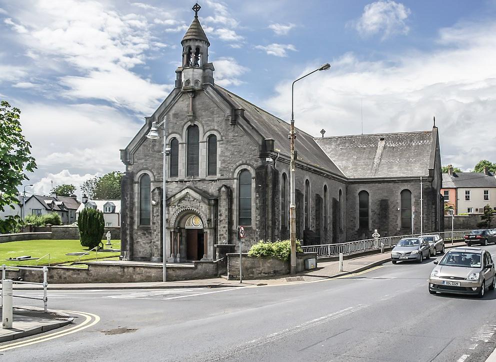 Dromin Church (in ruins)Church · 1614 yd
 Bawn in MaidstownBawn · 1.6 mi
 Bulgaden Castle (in ruins)Castle, tower house · 2.1 mi
 King John's CastleCastle · 2.5 mi
 St Bridget's WellSpring · 4.2 mi
 Glen BogForest · 4.7 mi
 KnockainyMountain / peak · 5.0 mi
 Flat cemetery in Knockainy WestFlat cemetery · 5.5 mi
 Ballinvreena LoopVisitor information · 6.5 mi