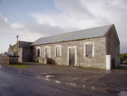
What is recorded here
Detached five-bay single-storey former creamery, dated 1891, with single-bay single-storey addition to south-west elevation. Now disused. Pitched corrugated-iron roof with cast-iron rainwater goods, lean-to roofed addition. Coursed rubble limestone walls with tooled quoins. Segmental-arched window openings with painted brick block-and-start surrounds and tooled limestone sills. Segmental-headed door opening with painted brick block-and-start surround. Concrete cart-loading platform to door opening. Segmental-headed door opening with painted brick block-and-start surround and tooled limestone keystone with date. Openings blocked by painted sheet metal throughout. Freestanding cast-iron water pump to south comprising circular-profile shaft with fluted head, having plaque, spout with foliate detailing and cow-tail curvilinear handle. Coursed rubble stone boundary wall to perimeter of site.
This former creamery building retains its original charm and character. This is enhanced by the pleasing visual and textural contrast between the stone walls and brick surrounds to the openings. The corrugated-iron roof is noteworthy, as it was a material which quickly replaced thatch as the dominant vernacular roofing material of the 1900s. The building would have been the heart of the community, a standing enhanced by the associated water pump. This pump, which retains all of its original components, is an attractive, early surviving artefact of mass-produced cast-iron ware. The various raised details serve to enhance the artistic design quality of the piece, while the cow tail handle is an elegant feature of the composition. The water pump is of additional significance as a reminder of the mechanisms installed for the extraction of clean drinking water in a period before mains water supply. Together with the creamery, they would have been key landmarks and form meeting place in the community, which still holds some local social significance.
This does not grant access. Most recorded buildings are privately owned; view them only from public ground unless the owner allows entry.
Places near here
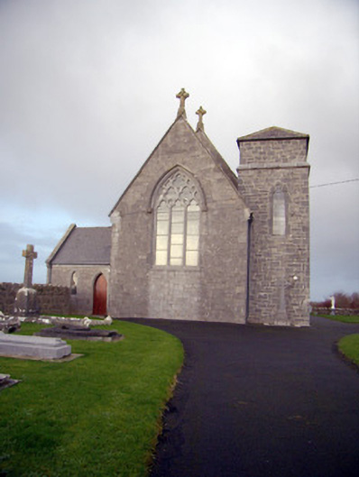 Catholic Church of Our Lady of the Assumptionchurch/chapel · 118 yd
 Rathbaun, HachuredFairy fort / earthen ringfort · 175 yd
 Bulgaden Castle (in ruins)Castle, tower house · 621 yd
 Bantard Househouse · 949 yd
 Grave YardGraveyard · 1241 yd
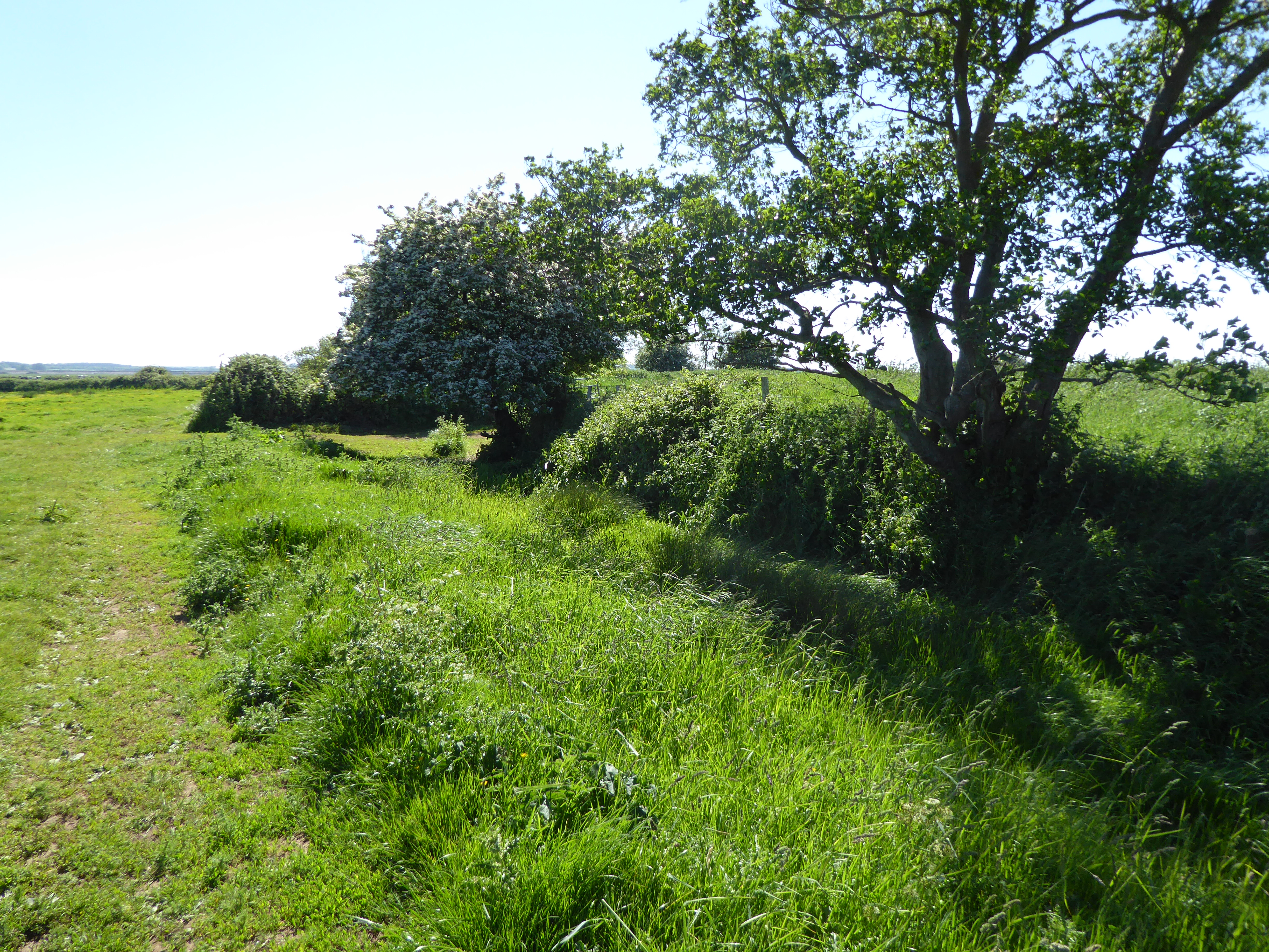 Site of Bulgaden HallCastle, unclassified · 1467 yd
 Kilmallock AbbeyHeritage attraction · 2.1 mi
 King John's CastleCastle · 2.2 mi
 St Bridget's WellSpring · 3.3 mi
 Ballinvreena LoopVisitor information · 4.4 mi
 KnockainyMountain / peak · 4.8 mi
 Ballyhoura tourist informationVisitor information · 4.9 mi
Other information
Photo: National Inventory of Architectural Heritage · Website use allowed for educational or private purposes with source credit