
What is recorded here
Situated on the SE side of a hillock, in gently undulating pasture, with good views to SE and SW. Monument described as a much disturbed subcircular-shaped area (dims. 42.5m NW-SE) which is defined by two short portions of earth and stone bank (int. H 0.45m; ext. H 1.6m; Wth at top 0.6m; overall Wth 4.4m) visible from…
Read the whole record
From the National Monuments Service (Archaeological Survey of Ireland) record WM025-079
Places near here
Photo credits
- Maker not stated on source page, commons.wikimedia.org
- National Inventory of Architectural Heritage
- Maker not stated on source page, www.britainexpress.com
- Maker not stated on source page, www.whytes.ie
- Photographer not named by Loughnavalley GAA, www.loughnavalleygaa.ie
- Maker not stated on source page, www.flickr.com
 Taghboyne GraveyardGraveyard · 490 yd
Explorer Tom Taghboyne Graveyard is incredibly proud of its ability to make your phone signal disappear completely within ten…
 Flat cemetery in RedmondstownFlat cemetery · 834 yd
Explorer Tom Flat cemetery in Redmondstown was accidentally discovered by a bulldozer that broke its capstone like it was a cheap…
 RedmondstownDemesne walls/gates/railings · 962 yd
Explorer Tom Redmondstown in Westmeath is just a fancy gate standing there like a confused doorman without a house to guard. It…
 Standing stone in RogerstownStanding stone · 1160 yd
Explorer Tom Standing stone in Rogerstown has an imaginary fan club of local farmers who think it’s just a really aggressive rock…
 Loughnavalley CemeteryCemetery · 1289 yd
Explorer Tom Loughnavalley Cemetery in County Westmeath is hiding a treasure that is definitely just an old biscuit tin full of…
 water pump1310 yd
Explorer Tom Water pump in Gneevestown is where the fiddler played his heart out all night until the cows started dancing. It’s just…
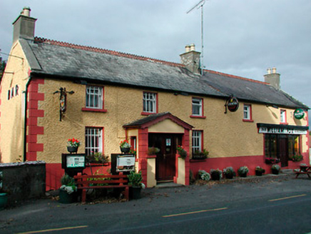 William FoxHouse · 1321 yd
Explorer Tom William Fox in Togherstown was built by a guy who thought he was a genius architect and ended up just making a very…
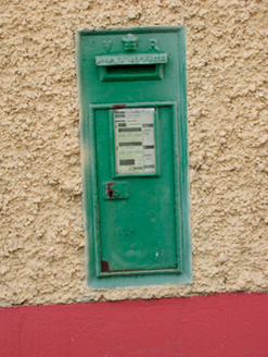 post box1325 yd
Explorer Tom Post box in Gneevestown is wearing Queen Victoria’s crown like a tiny tiara, claiming it once delivered mail to the…
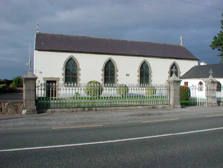 Catholic Church of the AssumptionChurch/chapel · 1364 yd
Explorer Tom Catholic Church of the Assumption in Togherstown is a simple hall-type church that probably glares at anyone who leans…
 Stone head in GneevestownStone head · 1374 yd
Explorer Tom Stone head in Gneevestown is stuck in a barn wall like a weird art installation. Someone paid big time for this frowny…
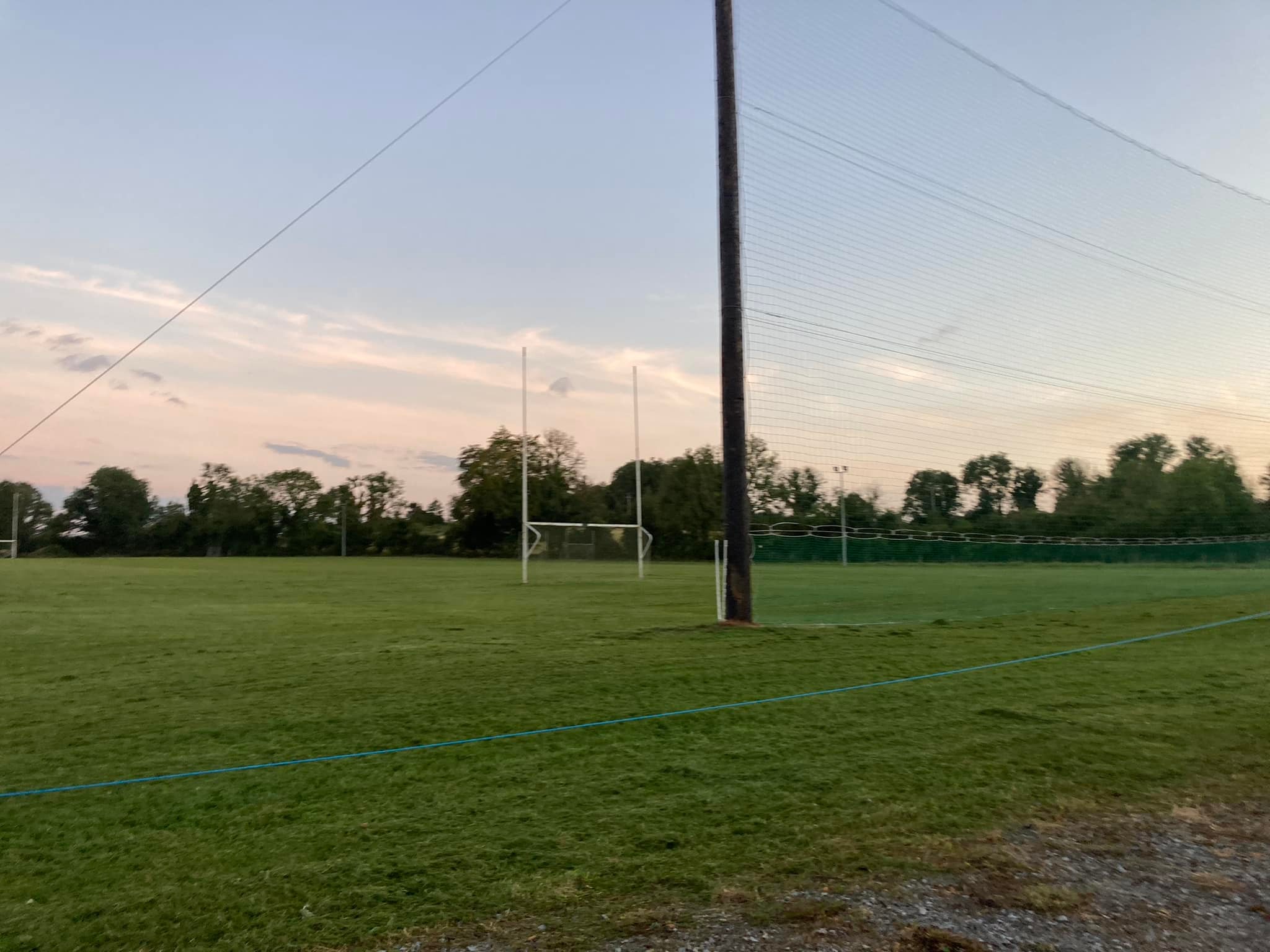 Loughnavalley GAA pitchGAA ground · 1722 yd
 Carn Castle in ruinsCastle, tower house · 1.1 mi
Explorer Tom Carn Castle is secretly proud of the one potato growing in its corner. It’s been guarding that spud for centuries while…
More archaeology and monuments in County Westmeath · All of County Westmeath

What do you know about this place?Tap to add a comment or ask a question