
What is recorded here
From the National Monuments Service (Archaeological Survey of Ireland) record WM001-026
Places near here
Photo credits
- National Inventory of Architectural Heritage
- Maker not stated on source page, commons.wikimedia.org
- Colin Park, Geograph · CC BY-SA 2.0
- Gavigan 01 at English Wikipedia, Wikimedia Commons · CC BY 2.5
- Maker not stated on source page, nigelborrington.com
- Britishfinance, Wikimedia Commons · CC BY-SA 4.0
- Maker not stated on source page, irisharchaeology.org
- Peggy Ashby, Geograph · CC BY-SA 2.0
- Maker not stated on source page, heritageireland.ie
 Balnacart MillMill (water) · 538 yd
Explorer Tom Balnacart Mill would spill the beans after two pints, revealing it actually runs on pure spite and old water. It’s tiny…
 Foyran GraveyardGraveyard · 825 yd
Explorer Tom Foyran Graveyard in County Westmeath has a family tree that is ninety percent made up, but the stones don’t care…
 Mullaghmeen White WalkWalking route · 1080 yd
Explorer Tom The Mullaghmeen White Walk has a secret it would tell after a few pints, but it’s too shy to say it out loud. It’s all…
 MullaghmeenMountain / peak · 1243 yd
Explorer Tom Mullaghmeen is Westmeath's highest hill and Ireland's lowest county top, a title I would defend with a very small flag.…
 Mullaghmeen Red WalkWalking route · 1374 yd
Explorer Tom The Mullaghmeen Red Walk hosted a dance that went so far that someone ended up married to a tree. The way markers are…
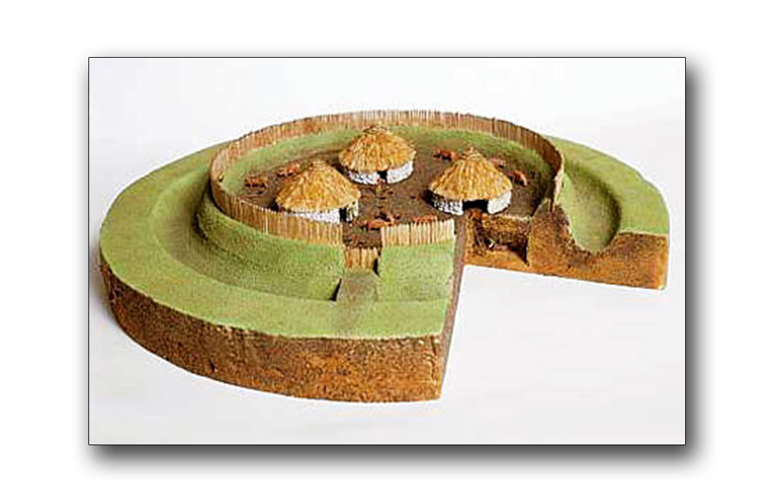 Fairy fort / earthen ringfort in Castletown UpperFairy fort / earthen ringfort · 1487 yd
Explorer Tom Fairy fort / earthen ringfort in Castletown Upper gave up its outer wall for Lent to show off its inner strength. The…
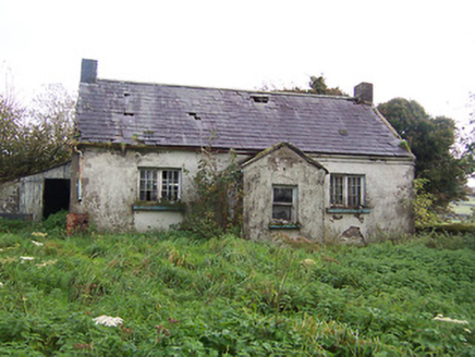 Tullystown National SchoolSchool · 1.0 mi
Explorer Tom Tullystown National School in Tullystown is having a serious feud with the rain. It’s been out of use for ages, so the…
 Mullaghmeen ForestPicnic place · 1.1 mi
Explorer Tom Mullaghmeen Forest’s name basically means “The Hill Where The Sheep Went To Die” if you squint really hard at the map.…
 Fairy fort / earthen ringfort in Balrath (fore By.)Fairy fort / earthen ringfort · 1.2 mi
Explorer Tom Fairy fort / earthen ringfort in Balrath is haunted, but the ghost is too lazy to actually appear, so he just sighs…
 Saint Michael's Catholic ChurchPresbytery/parochial/curate's house · 1.3 mi
Explorer Tom Saint Michael's Catholic Church in Castletown Lower looks suspiciously like a schoolhouse, which makes sense because…
 Ballynascarry HouseFarm house · 1.3 mi
Explorer Tom Ballynascarry House has a fox who took full charge of the place last Tuesday, wearing a tiny hat and making decisions…
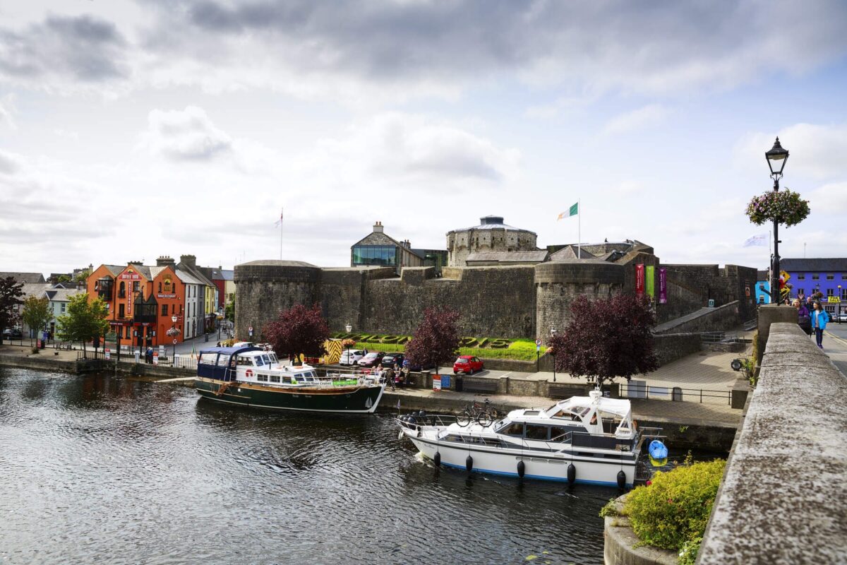 Carlanstown CastleBawn · 1.8 mi
Explorer Tom Carlanstown Castle has a hidden message in its stones if you know how to squint properly. It probably just says 'Free…
More archaeology and monuments in County Westmeath · All of County Westmeath

What do you know about this place?Tap to add a comment or ask a question