
What is recorded here
Situated on a small steep-sided round-topped natural rise surrounded by low lying wet grassland. Depicted on the 1837 OS Fair Plan map as a circular shaped enclosure annotated on map as ‘fort’. Depicted as a partial enclosure on the revised 1914 ed. OS 6-inch map. This site has been almost completely levelled. All that remains is a curving scarp visible from W-N-NNE (H 1.2m). A field fence running E-W bisects the monument. No visible remains of enclosing element of monument on S side of bisecting field fence.
Compiled by: Frank Coyne and Caimin O'Brien
Date of upload: 14 September 2018
A local fairy fort (ringfort/rath); wider significance not recorded.
The monument record does not grant public access. Check the route and ask the landowner before entering private land.
- What survives
- Recorded monument
Places near here
 Shinglis CourtCastle, unclassified · 1400 yd
 OutlinedFairy fort / ringfort · 1611 yd
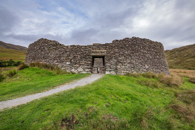 Fairy fort / ringfort in ShinglisFairy fort / ringfort · 1681 yd
 Corran IslandIslet · 1.1 mi
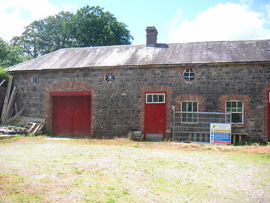 Belmore Placefarmyard complex · 1.2 mi
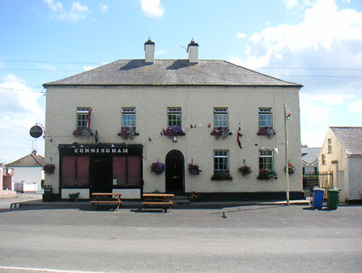 Cunninghamhouse · 1.3 mi
 Plary Monastery (in Ruins)Castle, tower house · 1.7 mi
 Sessile OakSessile Oak · 3.5 mi
 Guest ServicesVisitor information · 3.5 mi
 Craft WorkshopHeritage attraction · 3.5 mi
 Noughaval CemeteryArchaeological place · 3.6 mi
 Target WoodWood · 4.1 mi
Other information
Photo: Credit not shown in the picture search · Rights wording not checked; contact us if this picture should be removed