
What is recorded here
Sited on a slight rise, in gently undulating pasture. Crannóg (WM024-002----) lies c. 100m to SE. Annotated 'Fort' on the 1837 OS Fair Plan map and depicted as a circular-shaped enclosure (approx. diam. 25m). Depicted on the 1913 ed. OS 6-inch map as a diamond-shaped enclosure. Monument described in 1971 as a lozenge-shaped area (approx. dims. 41m NE-SW; c. 26m NW-SE) enclosed by a bank and a possible external fosse. The bank is low and is practically reduced to a scarp. There are slight remains of a fosse-like trench at the foot of the scarp. There is no visible trace of an entrance, although there are several slight disturbance gaps. The interior has a gentle WSW-facing slope and is planted with trees. This enclosure appears to have been a ringfort that has been modified to form an estate feature, possibly associated with Shinglis House, which lies c. 950m to N, in the same townland.
Compiled by Alison McQueen, Vera Rahilly and Caimin O’Brien.
Date of upload: 30 July 2019
This remains an important historical record, but the official description says the monument is no longer visible or has been destroyed. The monument record does not grant public access. Check the route and ask the landowner before entering private land.
- What survives
- No visible remains or recorded as destroyed
Places near here
 Corran IslandIslet · 398 yd
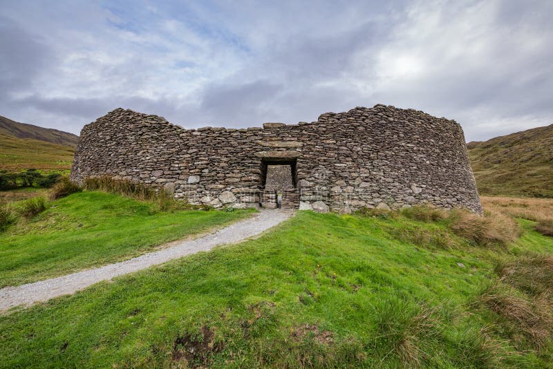 Fairy fort / ringfort in ShinglisFairy fort / ringfort · 755 yd
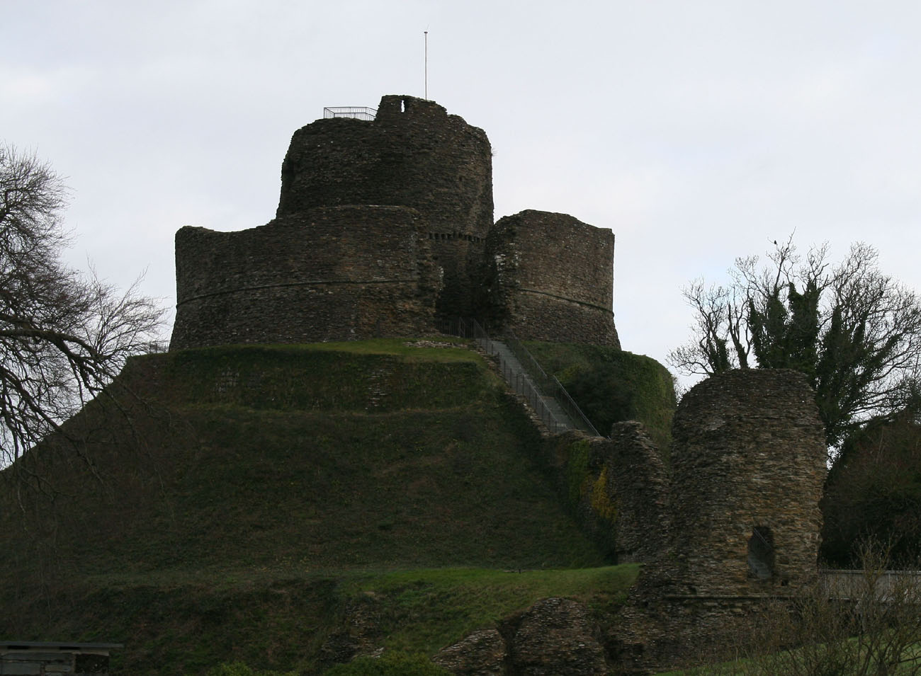 CastleCastle, motte and bailey · 902 yd
 Shinglis CourtCastle, unclassified · 941 yd
 Site of CampBastioned fort · 1068 yd
 IndicatedRoad, hollow-way · 1282 yd
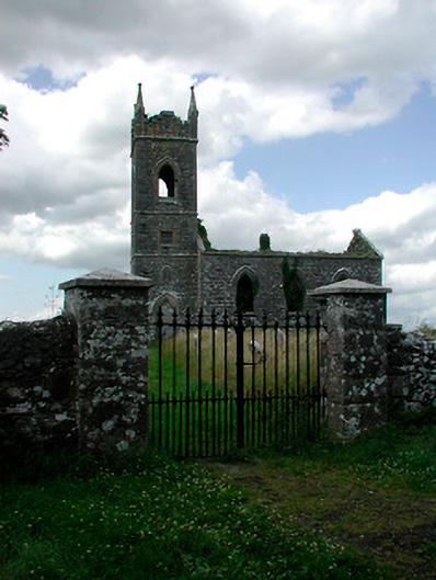 Saint Owen's Church (Ballymore)church/chapel · 1353 yd
 Sessile OakSessile Oak · 3.4 mi
 Craft WorkshopHeritage attraction · 3.9 mi
 Guest ServicesVisitor information · 3.9 mi
 Japanese pagoda treeJapanese pagoda tree · 4.3 mi
 Noughaval CemeteryArchaeological place · 4.5 mi
Other information
Photo: Credit not shown in the picture search · Rights wording not checked; contact us if this picture should be removed