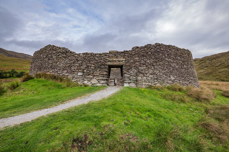
What is recorded here
Situated on E facing slope of a natural rise, in pasture with good views in all directions, c. 400m S of Shinglis House. The site of a 17th century military camp (WM017-086----) lies c. 33m to SSW, an enclosure (WM017-084----) lies c. 65m to SW, and Shinglis Castle (WM017-083----) stands c. c. 325m to NW.
Depicted on the 1837 OS 6-inch map as a circular-shaped enclosure. Depicted on the revised 1913 ed. OS 25-inch map as a roughly oval-shaped enclosure to the immediate SE of an OS trig. station marking 350ft OD. Described in 1983 as an oval, almost pear-shaped area (dims. 30m E-W; 21.50m N-S) enclosed by the remains of an earthen bank from WNW-W-NE which is reduced to a scarp from NE-E-S-W-NNW, with traces of an external fosse from NW-W-S-E. A low outer earthen bank is only visible from ESE-S-W-N-NE and has a sharp profile and may have been modified to form a post-1700 field bank. There is no indication of an entrance feature. There are disturbance gaps in the bank at SSW, W, NNW and ENE. The interior has a slight NE-facing slope. A linear field bank runs NW-SE just outside the perimeter at N. Barely discernible outline of levelled enclosure visible on Digital Globe aerial photography.
Compiled by: Alison McQueen, Vera Rahilly and Caimin O’Brien
Date of upload: 20 December 2018
A local fairy fort (ringfort/rath); wider significance not recorded.
The monument record does not grant public access. Check the route and ask the landowner before entering private land.
- What survives
- Recorded monument
Places near here
 Shinglis CourtCastle, unclassified · 372 yd
 OutlinedFairy fort / ringfort · 755 yd
 Corran IslandIslet · 1076 yd
 The Mansemanse · 1233 yd
 Partially hachuredFairy fort / earthen ringfort · 1681 yd
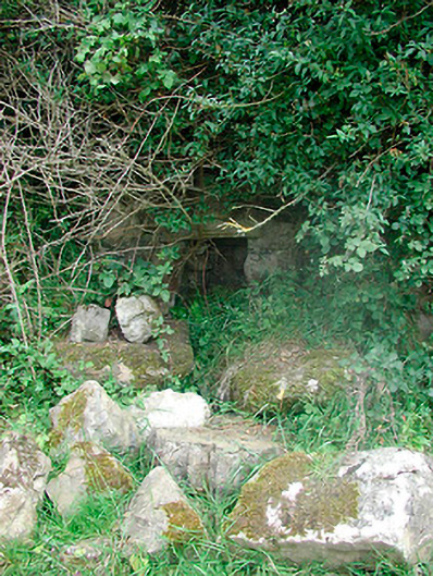 Sunday Wellmass rock · 1.1 mi
 CastleCastle, unclassified · 1.2 mi
 Sessile OakSessile Oak · 2.9 mi
 Craft WorkshopHeritage attraction · 3.6 mi
 Guest ServicesVisitor information · 3.6 mi
 Goldsmith Birthplace, PallasVisitor information · 4.2 mi
 Target WoodWood · 4.3 mi
Other information
Photo: Credit not shown in the picture search · Rights wording not checked; contact us if this picture should be removed