What is recorded here
In June 1691 'one sergeant and 15 men who occupied a small tower on a low hill, 400m to the east of the lough. After the position had been stormed by Williamite infantry, he was hanged in sight of the garrison on what became known as 'Sergeant's Hill' (Childs 2007, 314). This small tower on the low hill was located 400m east of the Anglo-Norman motte (WM024-004-) and of the 17th century bastioned fort (WM024-004001-). This tower sitting on top of a low hill is depicted as 'The Irish Serjeants hill' on George Story's 1691 sketch map of Ballymore (Story 1693, 318, plate 16).
In June 1691 'one sergeant and 15 men who occupied a small tower on a low hill, 400m to the east of the lough. After the position had been stormed by Williamite infantry, he was hanged in sight of the garrison on what became known as 'Sergeant's Hill' (Childs 2007, 314). This small tower on the low hill was located 400m east of the Anglo-Norman motte (WM024-004-) and of the 17th century bastioned fort…
From the National Monuments Service (Archaeological Survey of Ireland) record WM024-008003
The monument record does not grant public access. Check the route and ask the landowner before entering private land.
- What survives
- Recorded monument
Places near here
Photo credits
- National Inventory of Architectural Heritage
- Wayne77, Wikimedia Commons · CC BY-SA 3.0
- Maker named on the Wikimedia Commons picture page · CC BY-SA 2.5
- Abi Skipp, Wikimedia Commons · CC BY 2.0
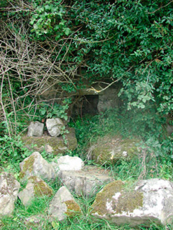 Sunday WellMass rock · 138 ydAltarMass-rock · 152 ydIndicatedFairy fort / earthen ringfort · 170 ydCastleCastle, motte and bailey · 848 yd
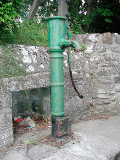 water pump1030 ydCorran IslandIslet · 1236 ydPlary Monastery (in Ruins)Castle, tower house · 1340 yd
 Japanese pagoda tree3.7 mi
 Sessile Oak3.7 mi
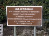 Hill of UisneachMountain / peak · 3.9 miKnockastiaMountain / peak · 4.1 miCraft WorkshopHeritage attraction · 4.7 mi
More castles and forts in County Westmeath · All of County Westmeath
What do you know about this place?