What is recorded here
This site was surveyed and recorded in 1971 when it recorded 'A roughly circular uneven enclosure (int. diam. 29.5m N-S; 26.4m E-W) bounded by a steep sided scarp with remains of an earthen bank on its upper edge and with slight remains of a fosse at its foot. The banki is denuded down almost to the interior from the SW-W-WNW and from the N-E. The bank has a slight modern gap on the SW and another on the N. From N-E-SE field fences have been built just outside the foot of the scarp and the fosse is obscured there. Elsewhere the fosse is narrow and shallow. The entrance is represented by a gap (Wth 7.4m) and causeway on the SSE. A few stones are visible in the bank and scarp but they do not appear to be formally set. Very small bits of rock outcrop are visible in the interior which dips slightly to the perimeter on the W and E sides. Sited on a small summit near the highest part of a hill of average to good pasture. Excellent views to the SW, W and N. Some thorn bushes grow in the scarp and interior' (ASI 1971, ASI File). Nearby ringfort (WM024-006-) located 300m to the NE, holy well (WM024-008001-) and mass rock (WM024-008002-) 175m to the NW. Possible 17th century tower or fortification (WM024-008003-) located on hilltop 130m to the N. Site was revisited and surveyed in 1977.
Compiled by: Caimin O'Brien
Date of upload: 11 November 2009
The monument record does not grant public access. Check the route and ask the landowner before entering private land.
- What survives
- Recorded monument
Places near here
 CastleCastle, unclassified · 170 yd
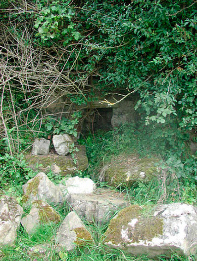 Sunday Wellmass rock · 205 yd
 AltarMass-rock · 209 yd
 Site of CampBastioned fort · 828 yd
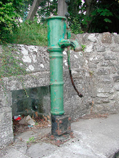 water pumpwater pump · 899 yd
 Plary Monastery (in Ruins)Castle, tower house · 1215 yd
 Corran IslandIslet · 1305 yd
 Japanese pagoda treeJapanese pagoda tree · 3.6 mi
 Sam's ParkForest · 3.6 mi
 Hill of UisneachMountain / peak · 3.9 mi
 KnockastiaMountain / peak · 4.0 mi
 Craft WorkshopHeritage attraction · 4.8 mi
Other information
Photo: Credit not shown in the picture search · Rights wording not checked; contact us if this picture should be removed