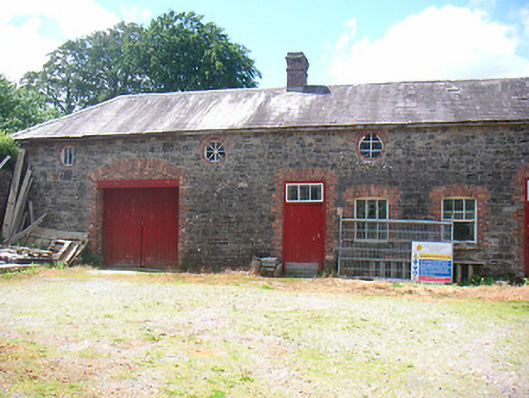
What is recorded here
Complex of single and two-storey farm outbuildings arranged around a central courtyard, built c.1850. Previously associated with Belmore Place (now demolished). Hipped natural slate roofs with projecting eaves courses, cast-iron rainwater goods and with a brick chimneystack to the centre of the east facing range. Constructed of coursed rubble limestone construction with red brick dressing to the openings. Shallow segmental-headed window openings with cut stone sills and three-over-three pane timber sliding sash windows to ground floor openings and oculus openings with fixed timber casement windows to first floor. Square-headed doorcases with brick dressings, timber sheeted doors and with three-paned overlights. Square-headed carriage arch with timber sheeted double doors to the north range. corrugated metal shed to the northeast side of complex. Set back from road to the north of the site of Belmore Place and at the end of a fame lane. Located to the north of Ballymore with rubble limestone boundary walls and wrought-iron gates to the east.
An impressive complex of outbuildings, originally associated with Belmore Place (now demolished), which retain much of their early form and character. Well-maintained and still in use, this complex retains much of its early fabric. The quality of the detailing to the openings gives these buildings architectural merit above their mainly functional purposes. The construction using gray limestone with red brick trim to the openings creates a visual interesting contrast. The wrought-iron gates and the rubble stone boundary walls completes the setting of this good quality composition.
From the Buildings of Ireland (National Inventory of Architectural Heritage) record 15315001
This does not grant access. Most recorded buildings are privately owned; view them only from public ground unless the owner allows entry.
Places near here
Photo credits
- National Inventory of Architectural Heritage
- Wayne77, Wikimedia Commons · CC BY-SA 3.0
- Maker named on the Wikimedia Commons picture page · CC BY-SA 2.5
- Kieran Campbell, Wikimedia Commons · CC BY-SA 2.0
- Mike Searle, Geograph · CC BY-SA 2.0
- David Baird, Geograph · CC BY-SA 2.0
- David Baird, Wikimedia Commons · CC BY-SA 2.0
- Sailko, Wikimedia Commons · CC BY 3.0
- Sheila1988, Wikimedia Commons · CC BY-SA 4.0
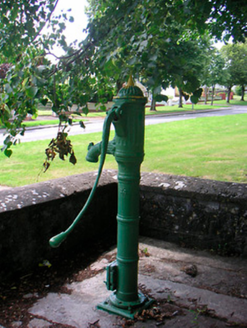 water pump360 yd
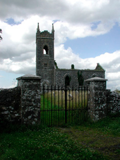 Saint Owen's Church (Ballymore)Church/chapel · 453 yd
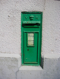 post box466 ydSite of CampBastioned fort · 770 yd
 Japanese pagoda tree3.7 mi
 Sessile Oak4.1 mi
 CastleCastle, motte and bailey · 4.4 mi
 Laragh CastleCastle · 5.7 mi
 Leveret IslandIslet · 9.5 mi
 InchbofinIslet · 10 mi
 Ecclesiastical enclosure in InchbofinEcclesiastical enclosure · 10 mi
 Corlea Trackway Interpretative CentreHeritage attraction · 11 mi
More historic places in County Westmeath · All of County Westmeath
What do you know about this place?