What is recorded here
Outline of rectangular shaped mound or platform (approx. dims. 51m N-S x 26m E-W) visible on OSI aerial photograph. Rectangular shaped monument depicted on 1837 ed. OS 6-inch. Depicted as a rectangular-shaped mound intersected at S by a field boundary running E-W. Outline of monument barely visible on Digital Globe aerial photograph taken 20/03/2018.
Compiled by: Caimin O'Brien based on details provided by Ed O'Donovan
Date of upload: 23 April 2019
The monument record does not grant public access. Check the route and ask the landowner before entering private land.
- What survives
- Recorded monument
Places near here
 Partially indicatedEnclosure · 843 yd
 OutlinedFairy fort / earthen ringfort · 1442 yd
 Farnaghcountry house · 1.5 mi
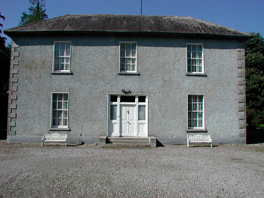 Baltrasna Househouse · 1.6 mi
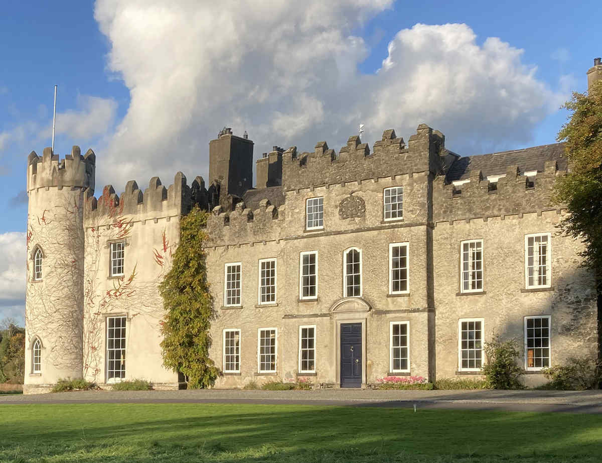 CastleCastle, unclassified · 1.8 mi
 The Bob Traynor GalleryGallery · 2.0 mi
 Moate HillMountain / peak · 2.0 mi
 Charles BianconiMemorial · 2.1 mi
 Dún na SíMuseum · 2.1 mi
 Cloghawareschal CastleCastle, unclassified · 2.1 mi
 European ashEuropean ash · 4.1 mi
 ToberaskeenSpring · 4.2 mi