What is recorded here
Situated on a rise (221ft/67m OD), in pasture. A public road lies c. 10m to SE. Depicted on the 1837 ed. OS 6-inch map as a circular-shaped tree-lined earthwork. Shown on the 1910 ed. OS 25-inch map as a subcircular-shaped enclosure. Monument is visible today as a roughly circular-shaped tree-lined earthwork on Digital Globe aerial photography.
From the National Monuments Service (Archaeological Survey of Ireland) record WM036-029
The monument record does not grant public access. Check the route and ask the landowner before entering private land.
- What survives
- Recorded monument
Places near here
Photo credits
- National Inventory of Architectural Heritage
- dougf, Wikimedia Commons · CC BY-SA 2.0
- Willow, Wikimedia Commons · CC BY 2.5
- Wikimedia Commons contributor · CC BY-SA 3.0
Enclosure in LowerwoodEnclosure · 421 ydIndicatedFairy fort / earthen ringfort · 1146 yd Castledaly ManorDemesne walls/gates/railings · 1.2 miCastledaly ManorFarmyard complex · 1.3 miDún na SíMuseum · 2.6 miThe Bob Traynor GalleryGallery · 2.6 miCharles BianconiMemorial · 2.7 miMoate HillMountain / peak · 2.7 miEsker CastleCastle, tower house · 3.1 miEuropean ash3.2 miMoydrum Castle WoodlandForest · 5.4 miMoydrum CastleCastle · 5.5 mi
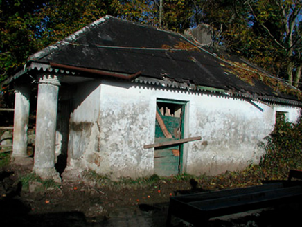 Castledaly ManorDemesne walls/gates/railings · 1.2 mi
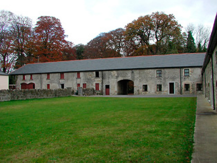 Castledaly ManorFarmyard complex · 1.3 miDún na SíMuseum · 2.6 miThe Bob Traynor GalleryGallery · 2.6 miCharles BianconiMemorial · 2.7 miMoate HillMountain / peak · 2.7 mi
 Esker CastleCastle, tower house · 3.1 mi
 European ash3.2 miMoydrum Castle WoodlandForest · 5.4 mi
 Moydrum CastleCastle · 5.5 mi
More archaeology and monuments in County Westmeath · All of County Westmeath
What do you know about this place?