
What is recorded here
Situated on top of a low rise, in undulating pasture, with good views to W and S. Depicted on the 1837 ed. OS 6-inch map as a faint roughly square-shaped enclosure. Not depicted on the revised 1910 ed. OS 25-inch map. Monument described in 1979 as a faint arc of a low scarp around the top of a natural rise. The scarp is traceable from SSW-W. There is a slight depression in the side of the rise at SW and another small depression in the top of the rise at SW, which may be backfilled gravel pits. Levelled monument is not visible today on Digital Globe aerial photography. the feature depicted on the 1837 ed. OS 6-inch map may be the remains of a gravel pit rather than that of an antiquity but this is not clear.
Compiled by Alison McQueen, Vera Rahilly and Caimin O’Brien.
Date of upload: 29 November 2019
The monument record does not grant public access. Check the route and ask the landowner before entering private land.
- What survives
- Recorded monument
Places near here
 Enclosure in LowerwoodEnclosure · 1.5 mi
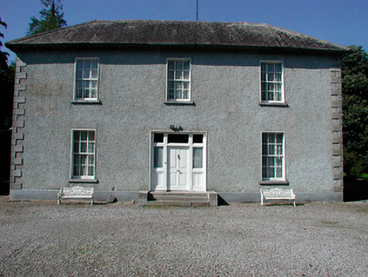 Baltrasna Househouse · 1.6 mi
 Farnaghcountry house · 1.8 mi
 Partially hachuredFairy fort / earthen ringfort · 1.8 mi
 Moate HillMountain / peak · 1.8 mi
 The Bob Traynor GalleryGallery · 1.9 mi
 Charles BianconiMemorial · 1.9 mi
 Bawn in Cartronkeel (clonlonan By.)Bawn · 2.0 mi
 Dún na SíMuseum · 2.2 mi
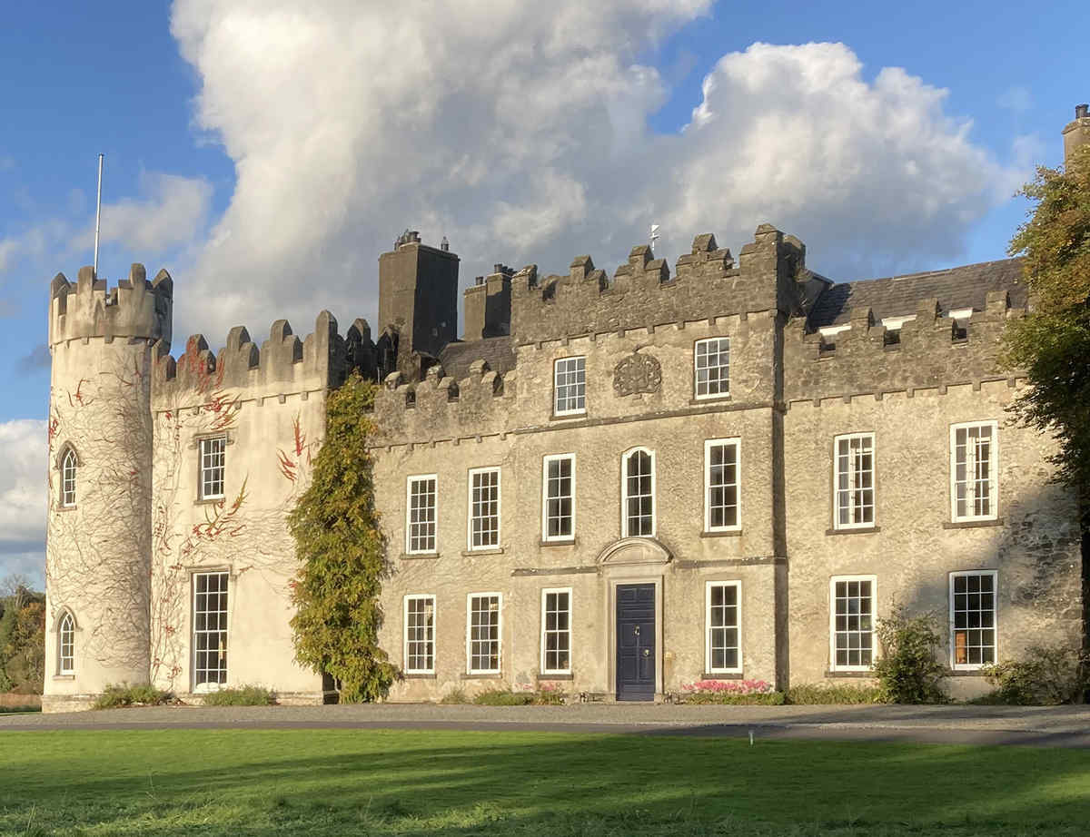 CastleCastle, unclassified · 2.2 mi
 Inchaloon IslandIslet · 3.9 mi
 European ashEuropean ash · 4.5 mi
Other information
Photo: Credit not shown in the picture search · Rights wording not checked; contact us if this picture should be removed